Climbing Illimani, Bolivia
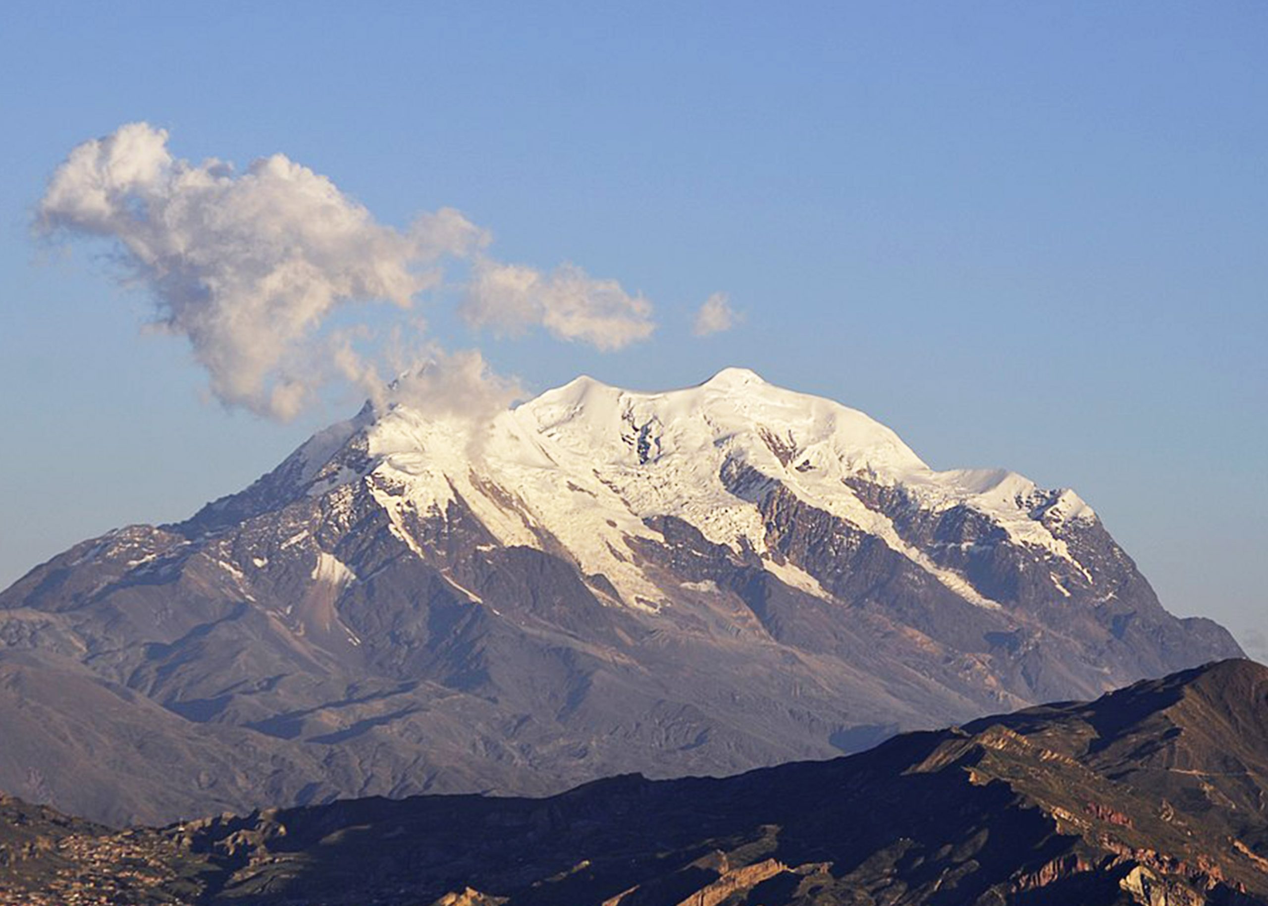
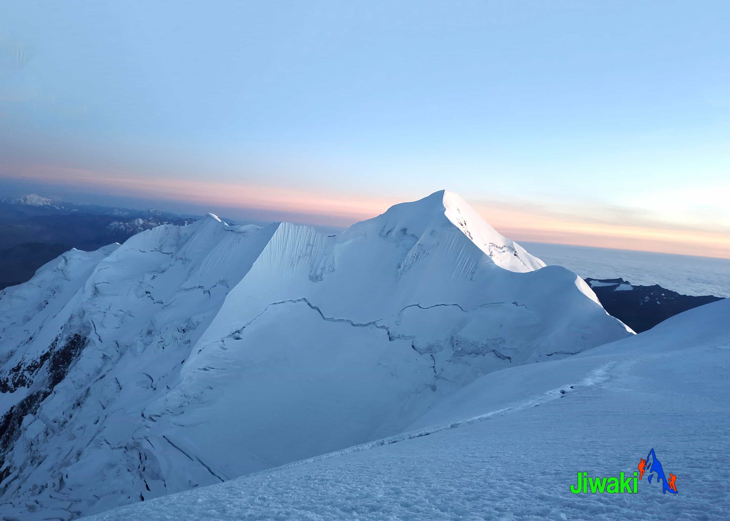
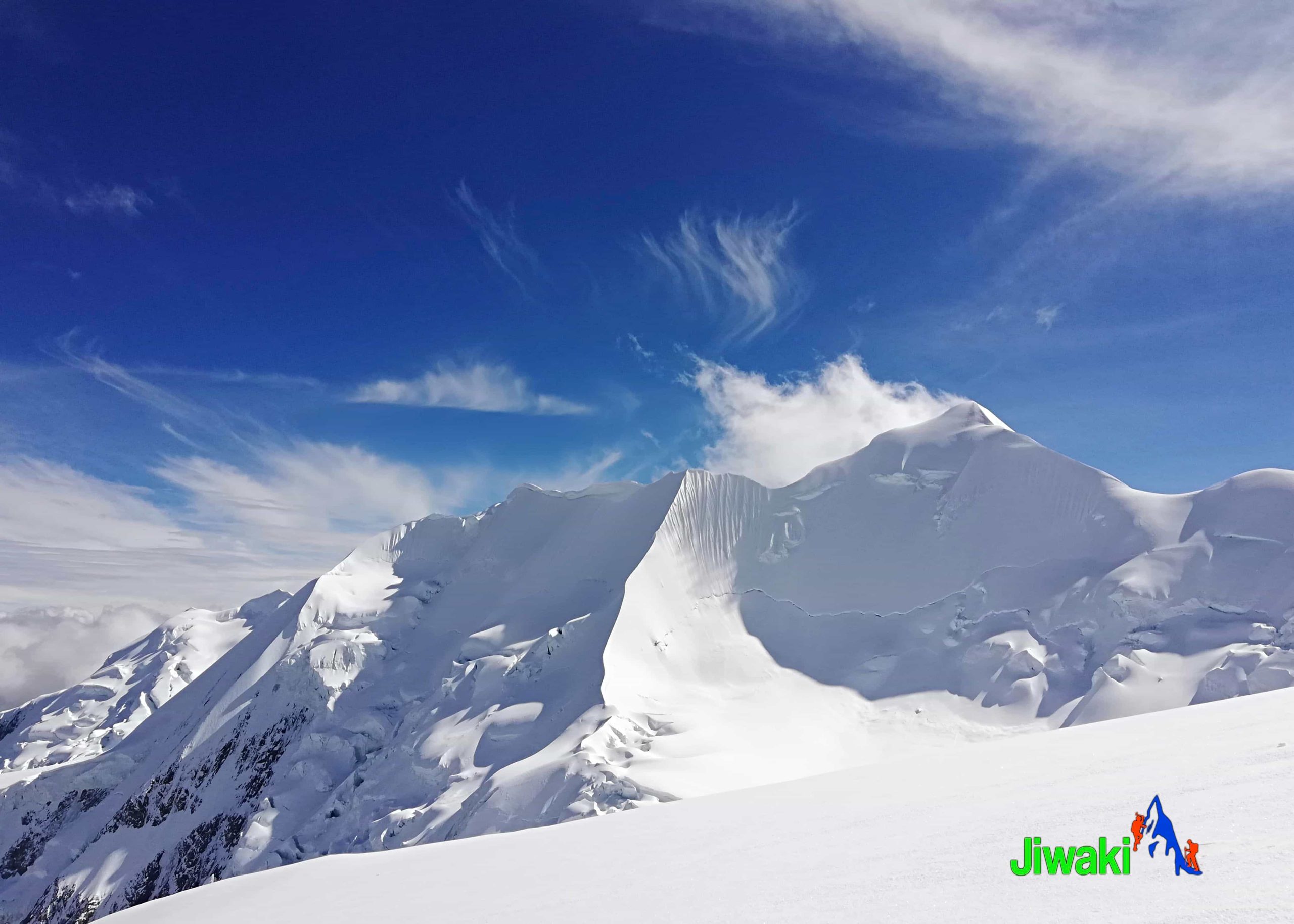
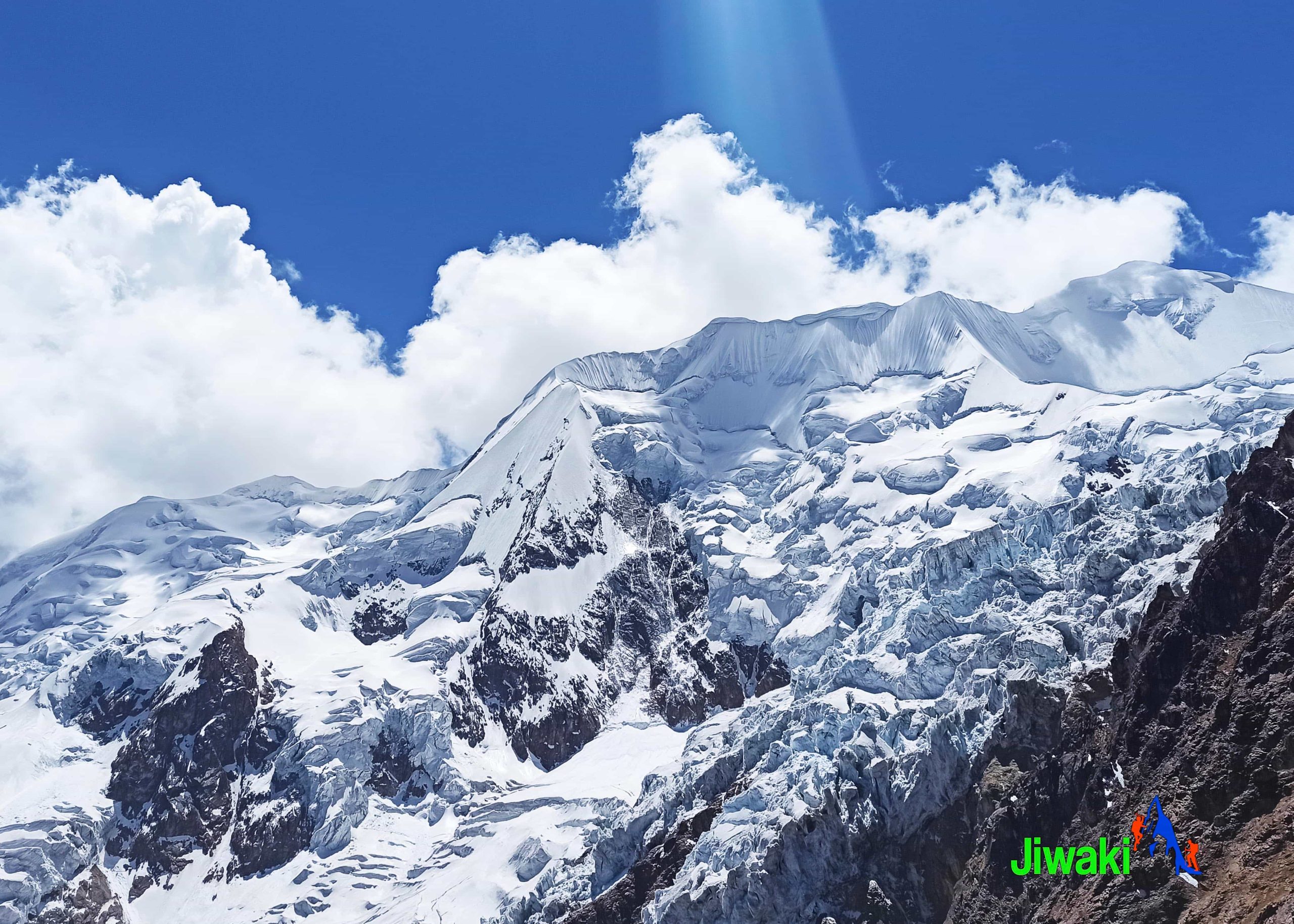
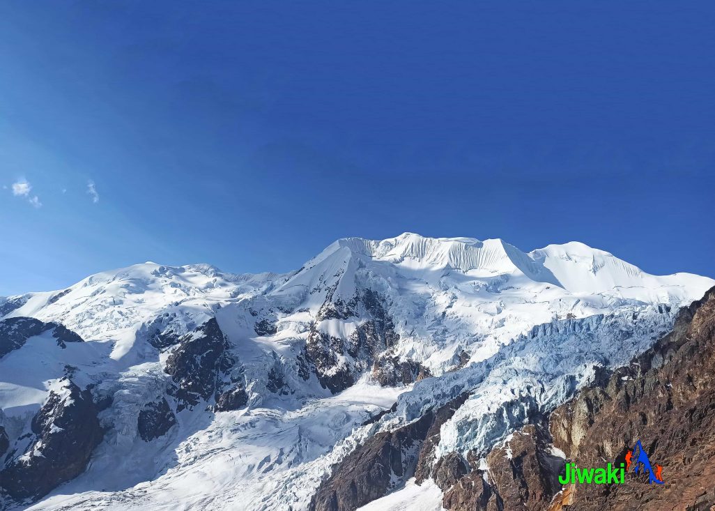
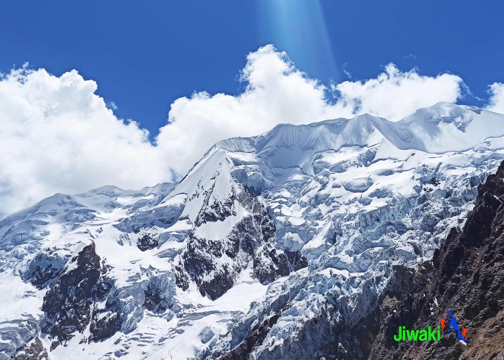
Rising to 6,438 meters (21,122 ft), Illimani is the highest mountain in the Cordillera Real and the second-highest peak in Bolivia. Revered as the guardian of La Paz, Illimani dominates the skyline and can be seen towering above the city from countless viewpoints.
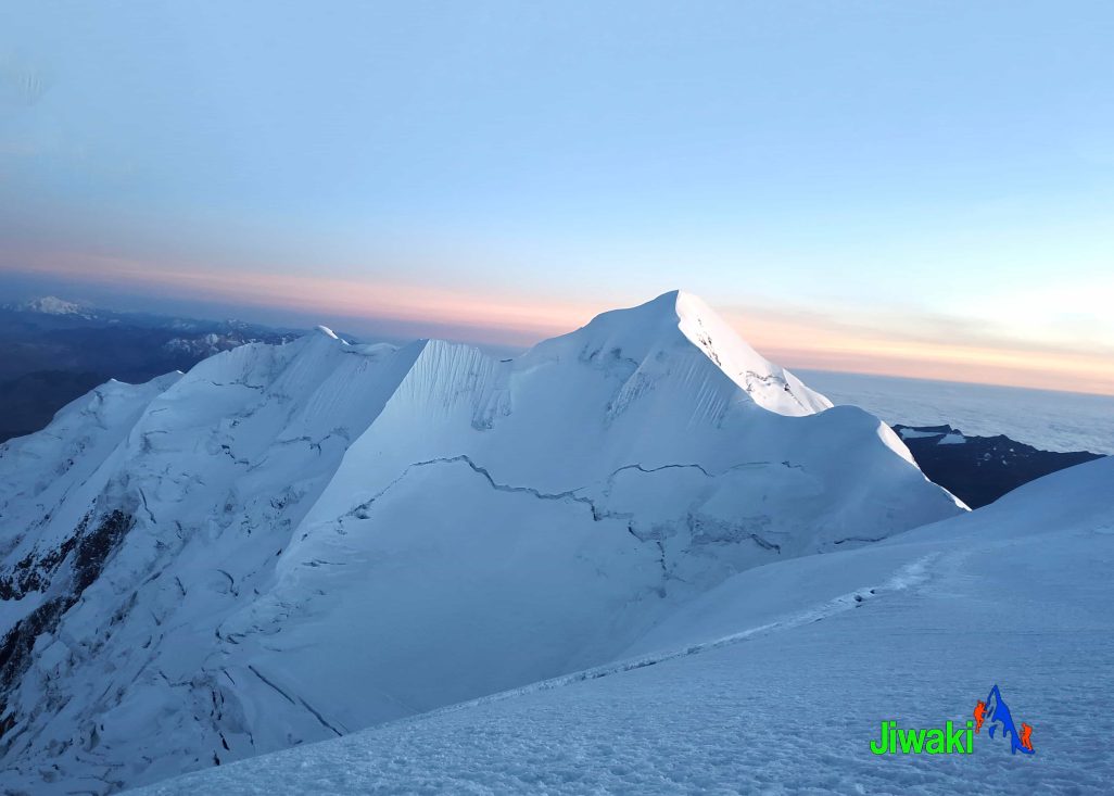
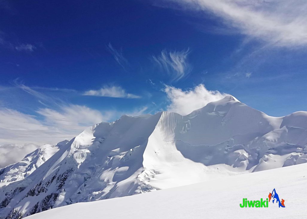
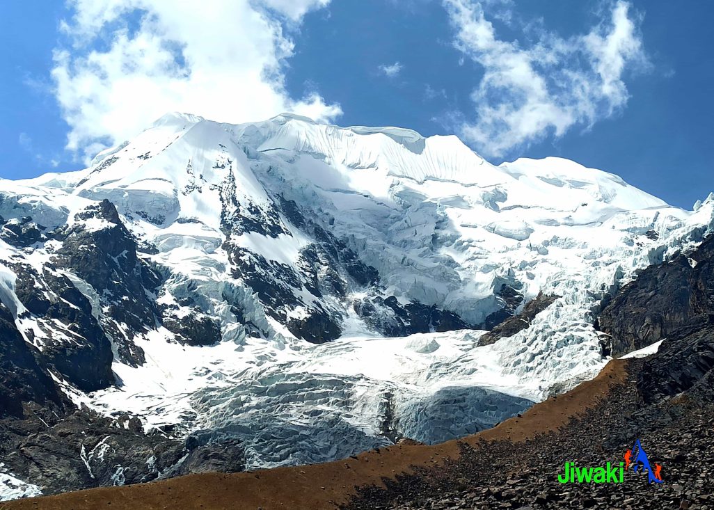
Illimani is an imposing massif with several snow-capped summits and vast glaciers. The ascent to its highest peak is both demanding and spectacular, offering breathtaking scenery throughout. Due to its steep, icy, and heavily glaciated terrain, Illimani is recommended only for climbers with prior high-altitude and technical mountaineering experience.
Physical Requirements
Climbing Illimani is extremely physically demanding, primarily due to its high altitude. A very high level of physical fitness and proper acclimatization is essential to make the climb safer, more manageable, and enjoyable.
To prepare for Illimani, the following climbs are excellent acclimatization and training options:
- Huayna Potosí – 6,088 m.
- Pequeño Alpamayo – 5,450 m.
- Acotango Volcano, (6,052 m. / 19,856 ft)
Climbing Illimani Route:
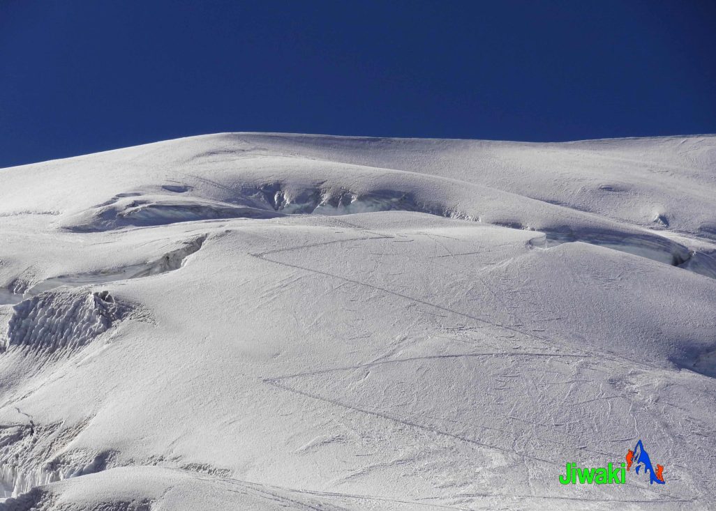
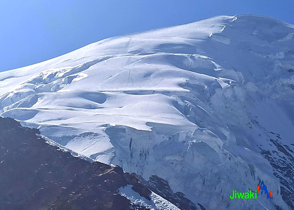
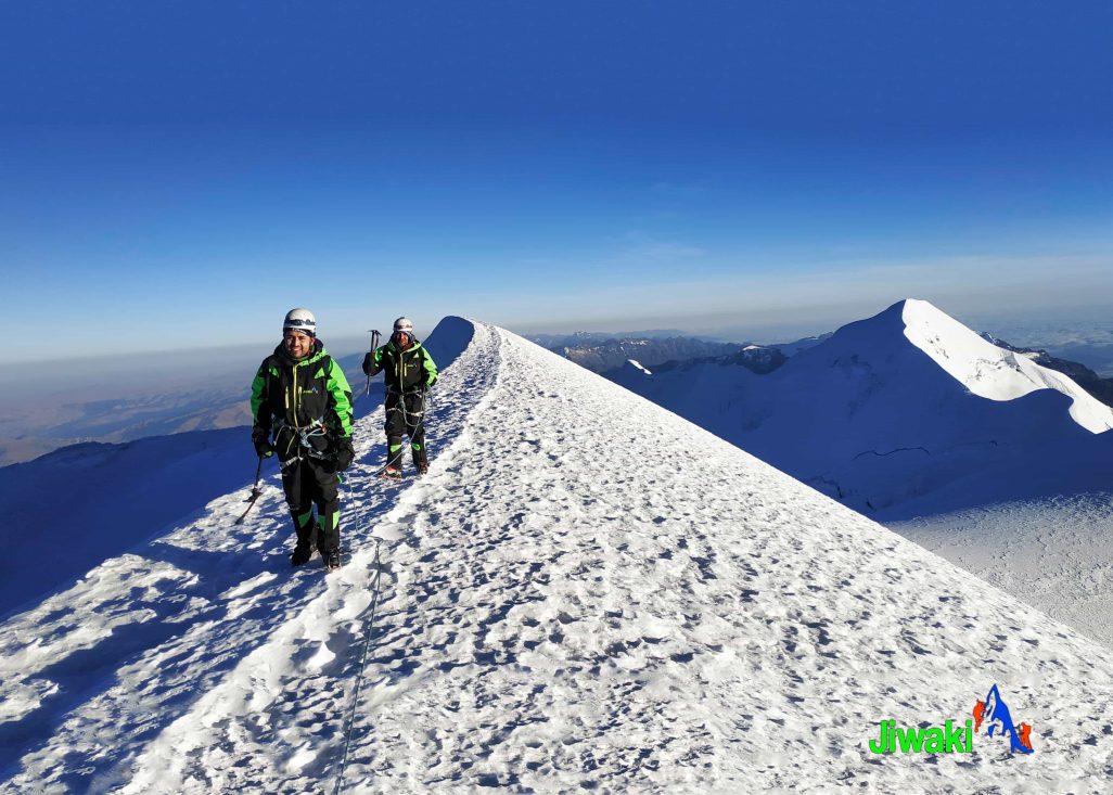
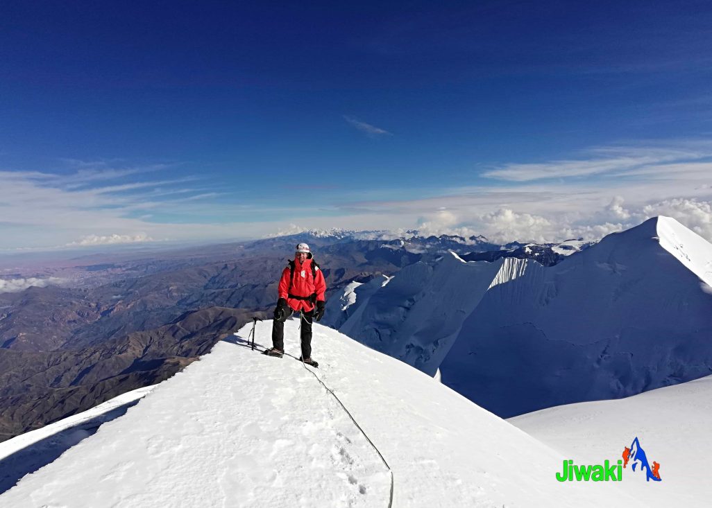
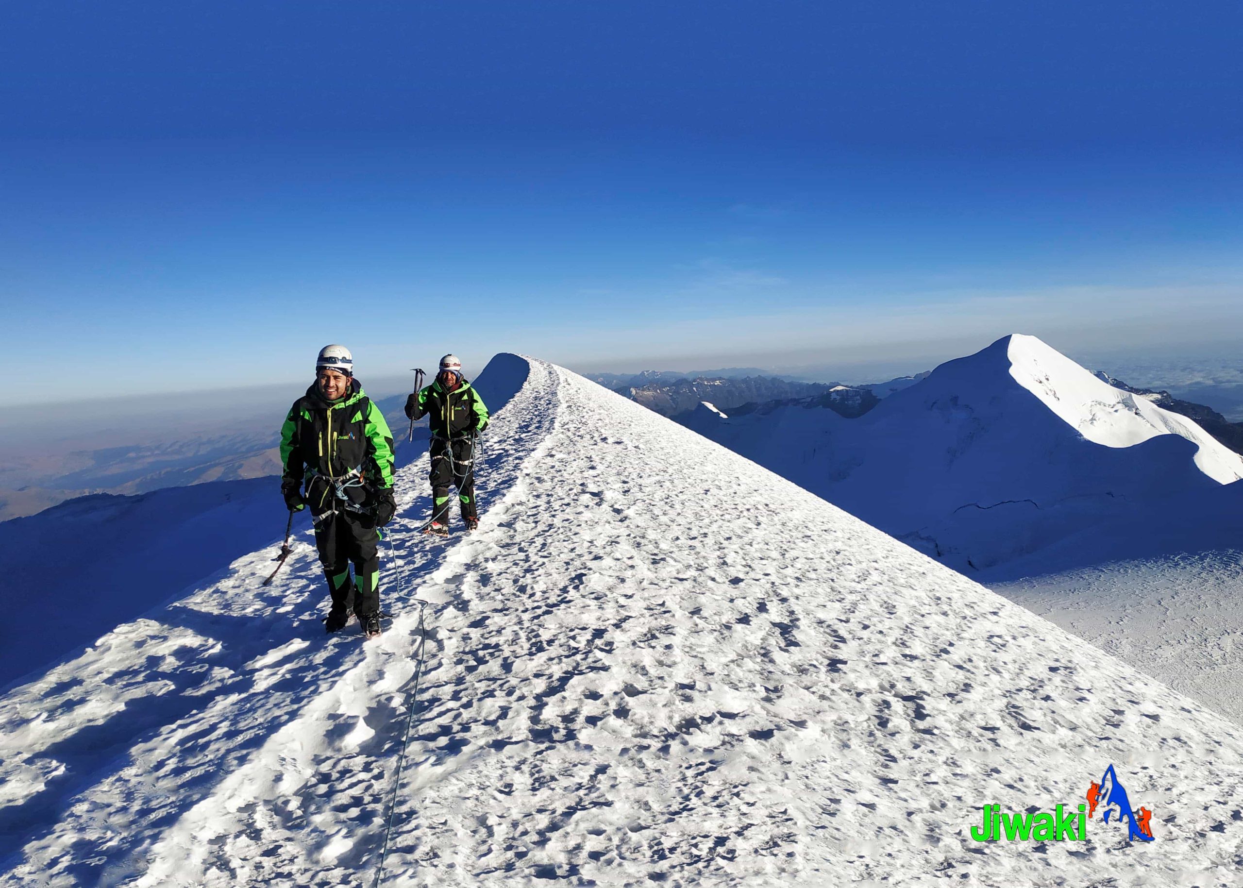
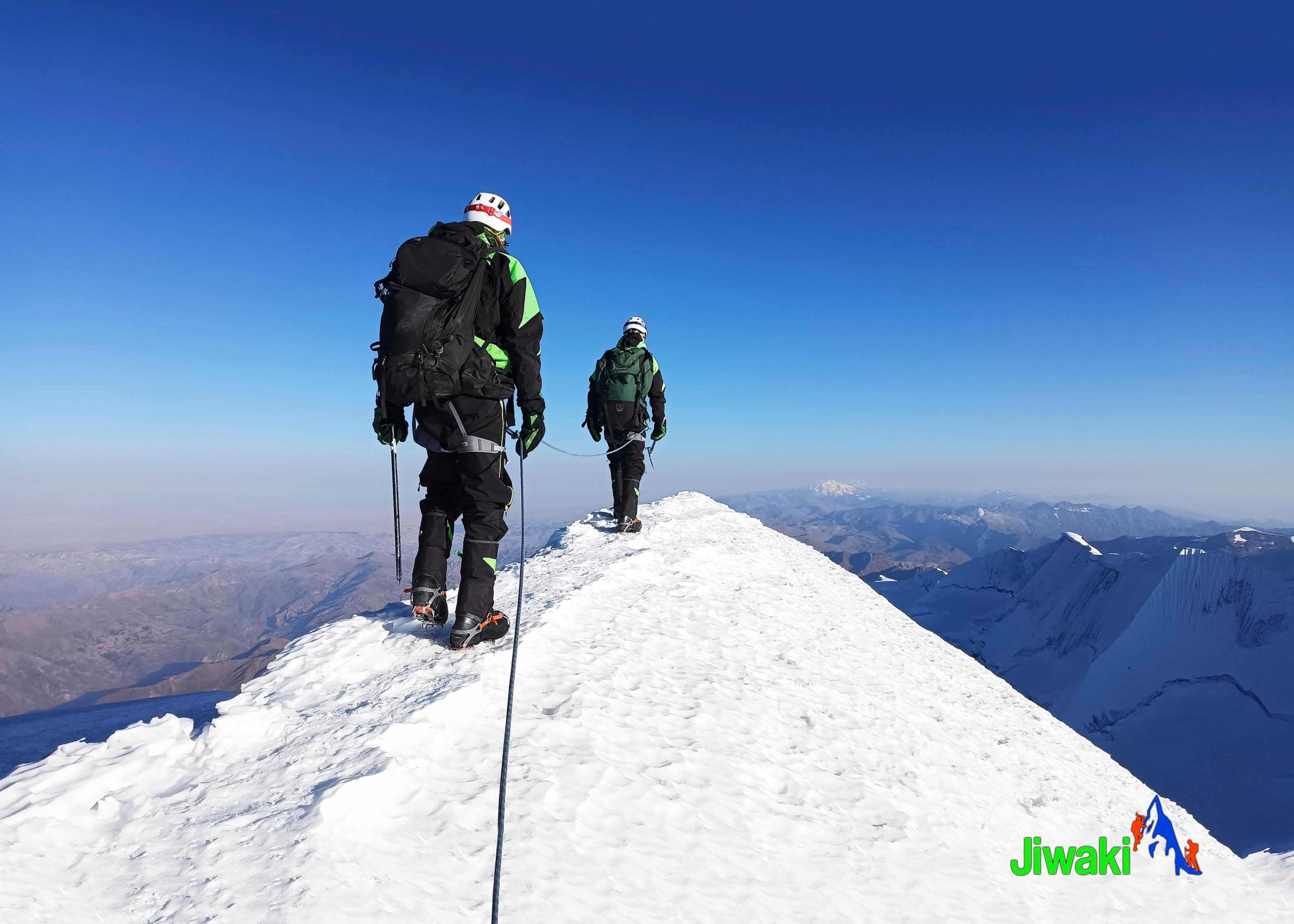
Most climbers ascend via the West Ridge of Pico Sur, which is the normal route. This route involves a steep and challenging climb across a heavily crevassed glacier, requiring solid glacier travel skills and confidence on steep snow and ice.
Weather Conditions
Due to its extreme altitude and location in the Cordillera Real, Illimani is cold year-round. Temperatures frequently drop below 0°C, especially at night and during summit attempts.
Best Season to Climb Illimani
The best time to climb Illimani is during Bolivia’s dry season, from May to October. These months typically offer the most stable weather and optimal climbing conditions.
ITINERARY:
At 8:30 a.m., we will pick you up from your hotel in La Paz City (3,600 m / 11,811 ft) and begin our adventure by private transportation. Our scenic journey will take us through the impressive landscapes between La Paz and the village of Pinaya, crossing diverse agricultural areas and experiencing the breathtaking beauty of the Bolivian Andes.
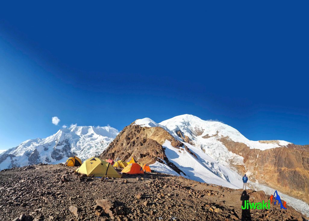
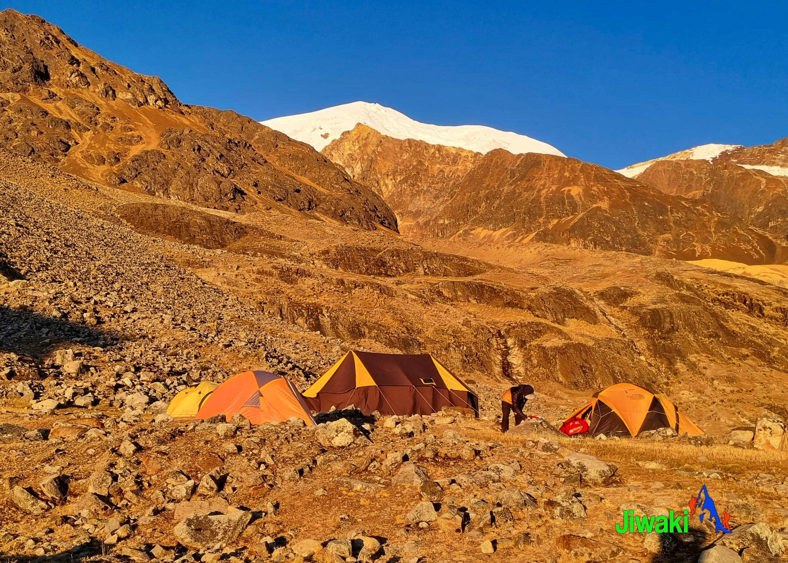
From Pinaya, we will continue toward Puente Roto, the base camp area of the magnificent Illimani Mountain. Upon arrival, our team will set up the tents while you relax and take in the spectacular surroundings of this remote Andean setting.
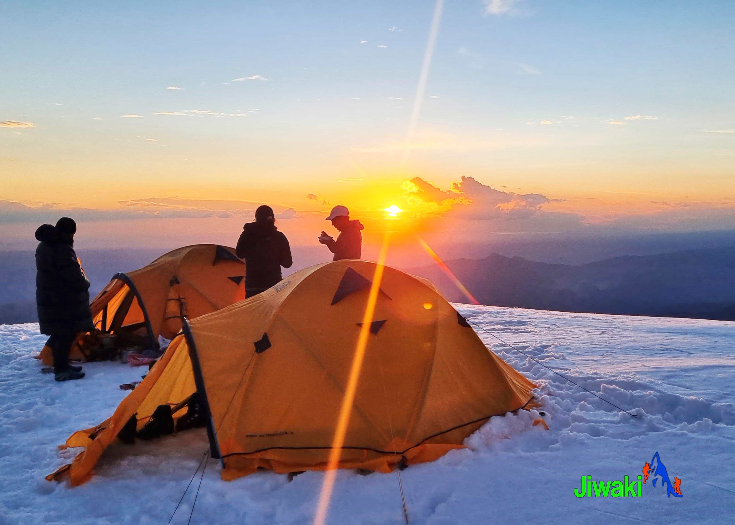
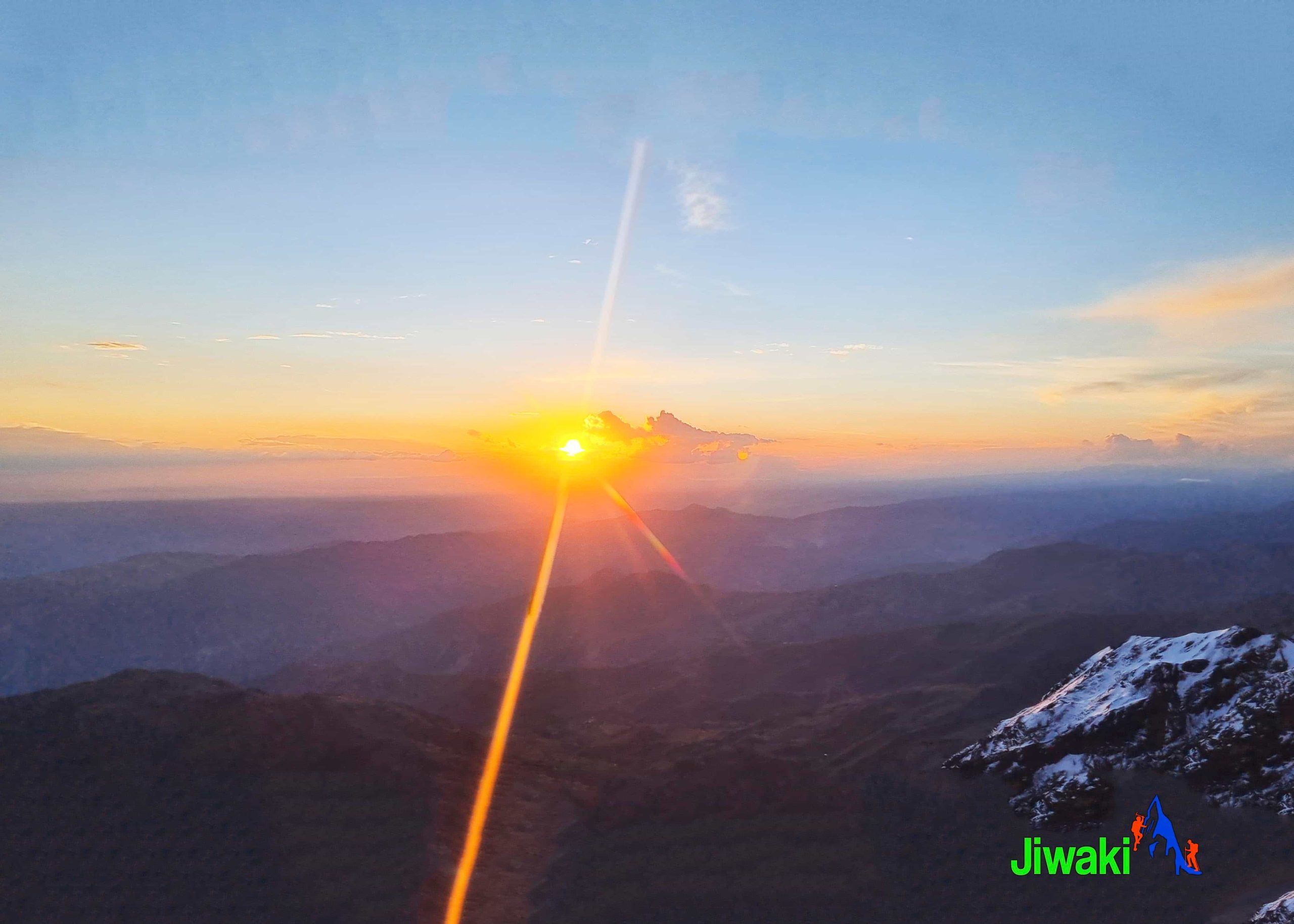
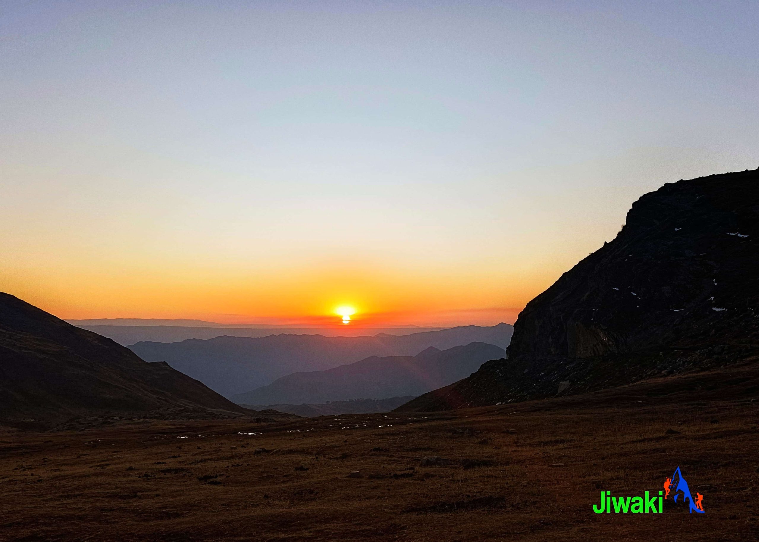
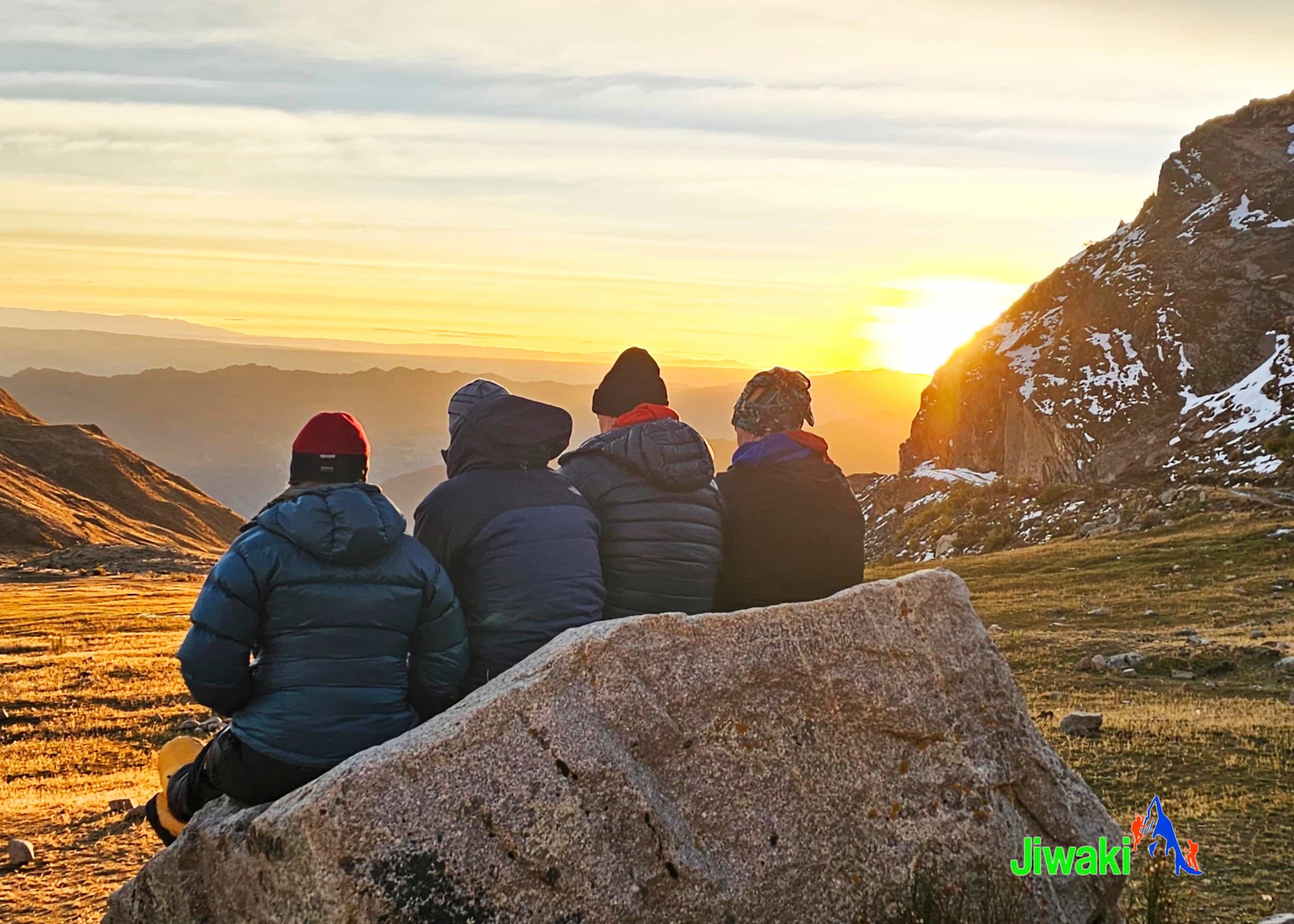
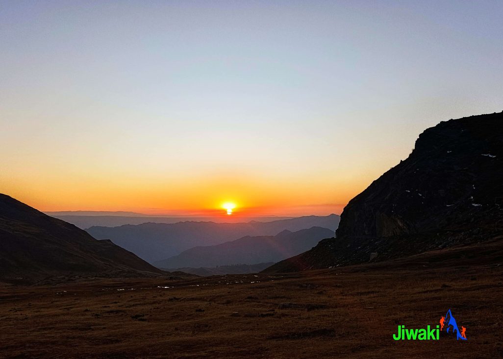
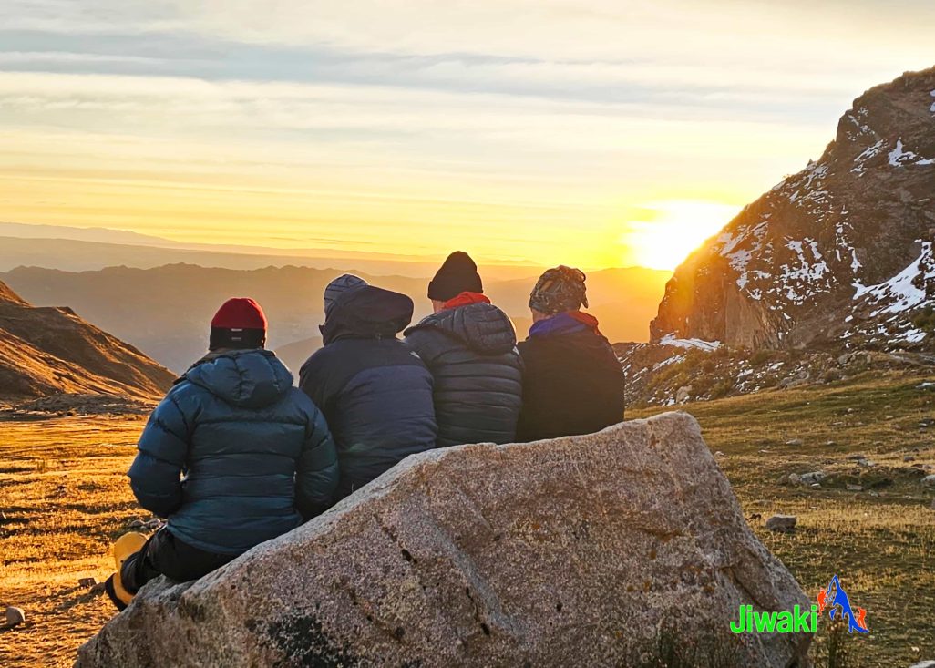
As the day comes to an end, enjoy a remarkable sunset over the mountains, with the warm colors of the evening light creating an unforgettable atmosphere beneath the towering presence of Illimani.
Overnight at Puente Roto Camp (4,495 m / 14,750 ft).
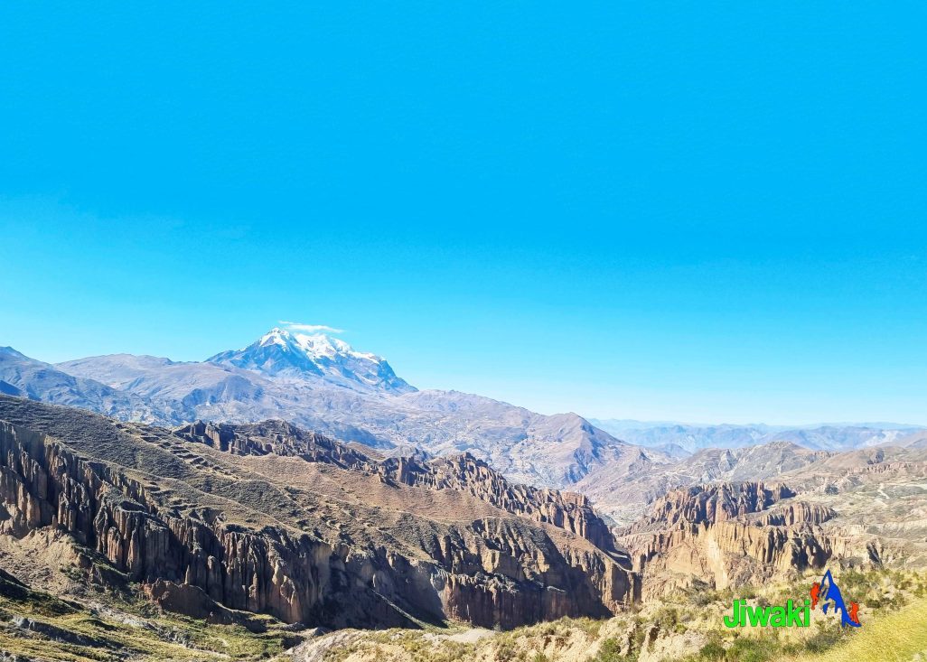
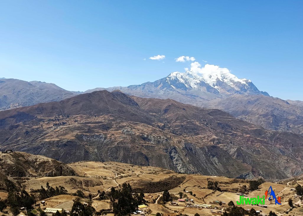
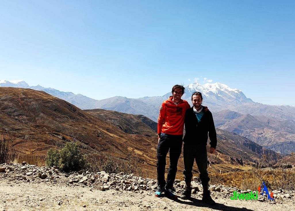
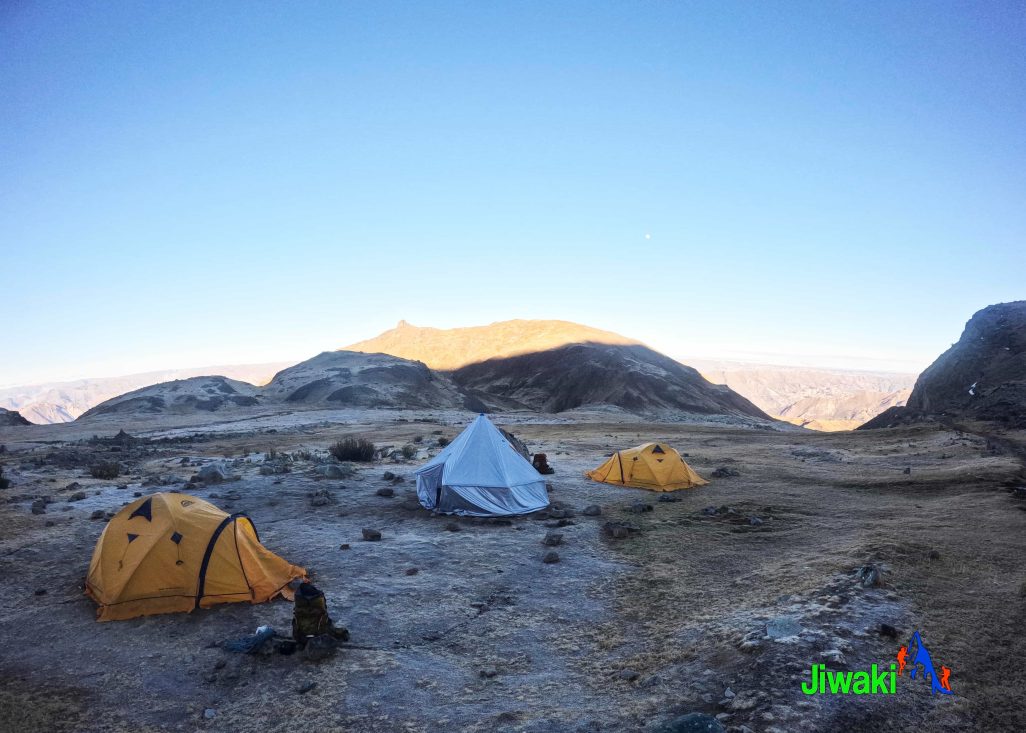
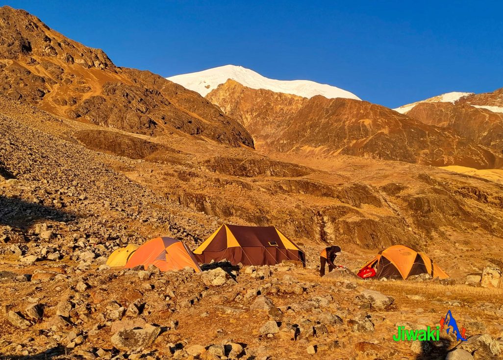
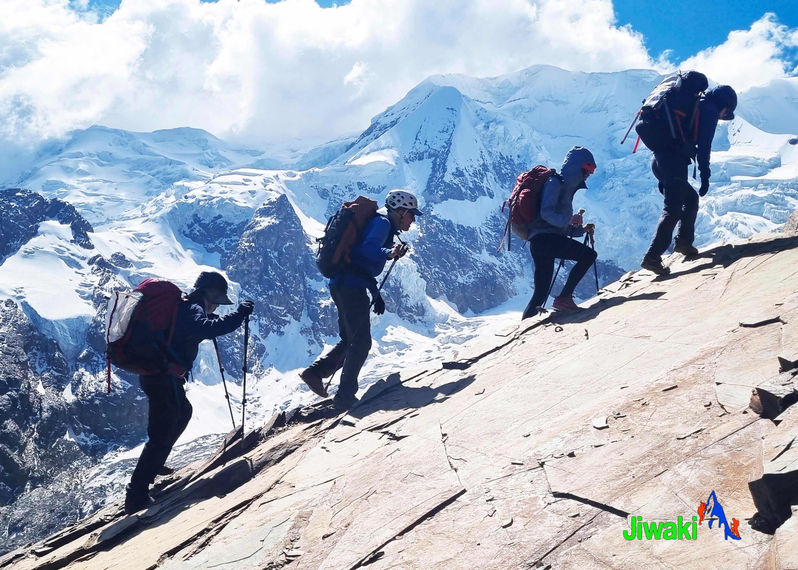
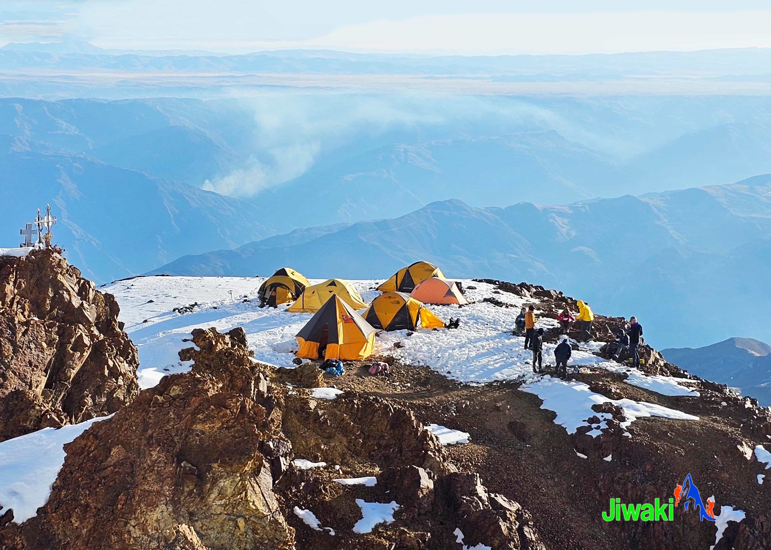
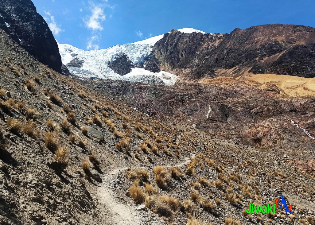
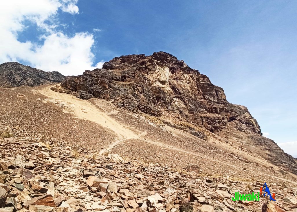
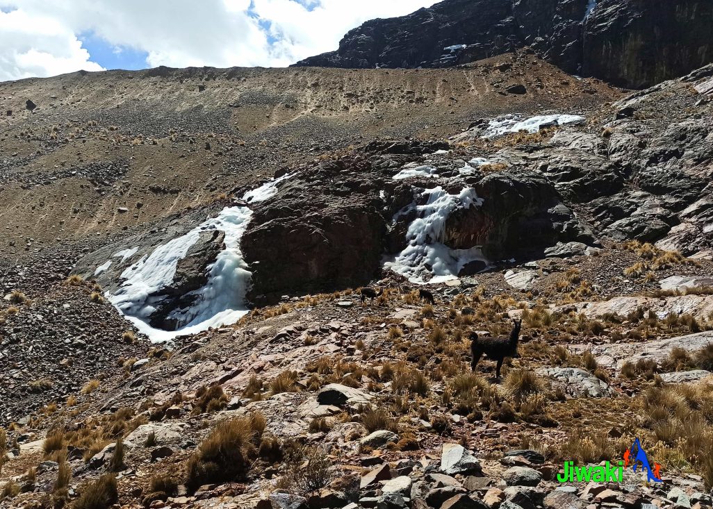
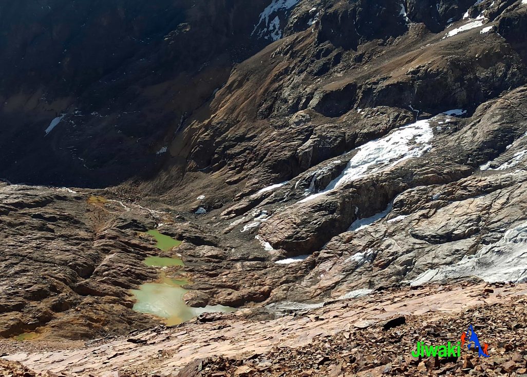
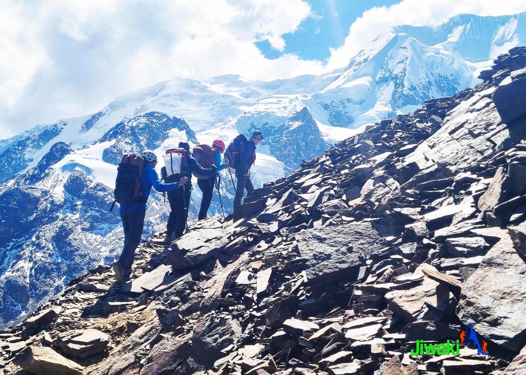
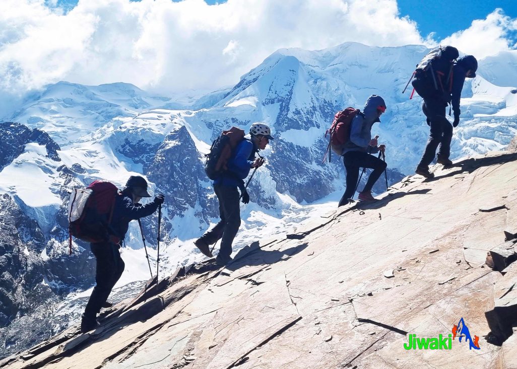
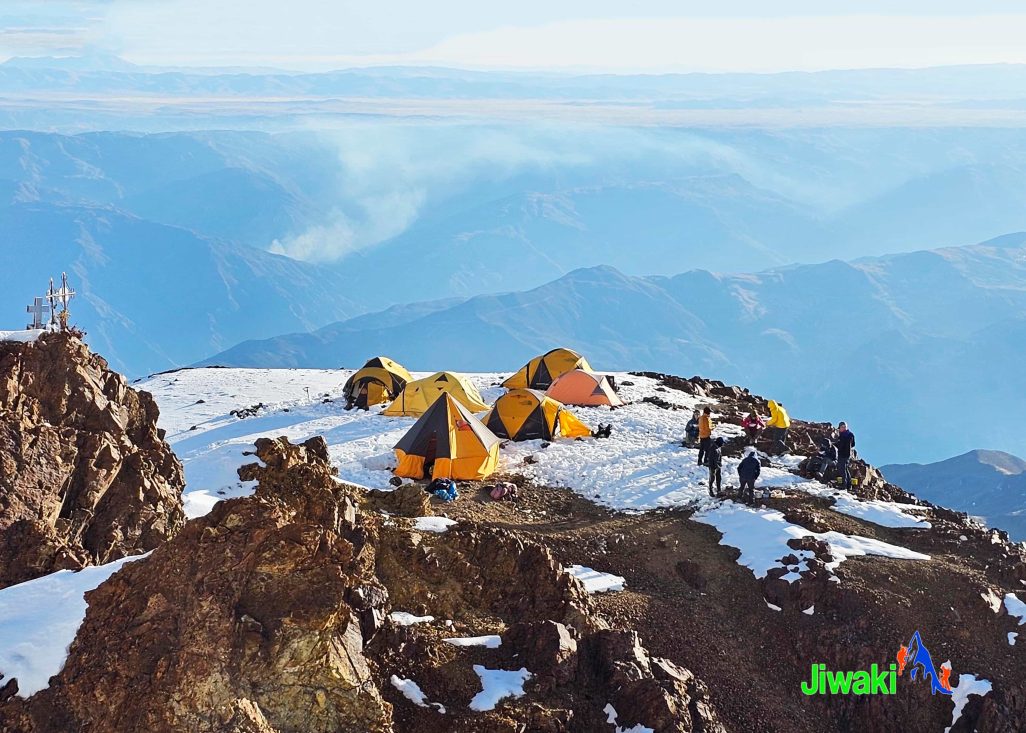
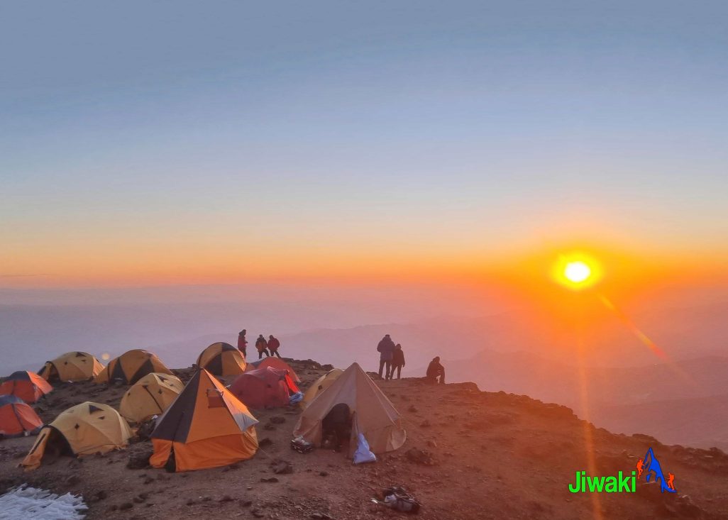
We will spend the day hiking around five to six hours traversing gradually across the lower slopes of the mountain until a climb of the final exposed rocky ridge brings us to Nido de Condores (Condor’s Nest) from the Base Camp (4,700m. / 15,419ft ) to High Camp (5,500m. / 18,045 ft). We will spend the night at Nido de Condores Camp in tents.
- Hiking time (including breaks): 5–6 hours
- Distance: 3.9 km
- Highest elevation: 5,500 m (18,045 ft)
- Elevation gain: +1,004 m (+3,295 ft)
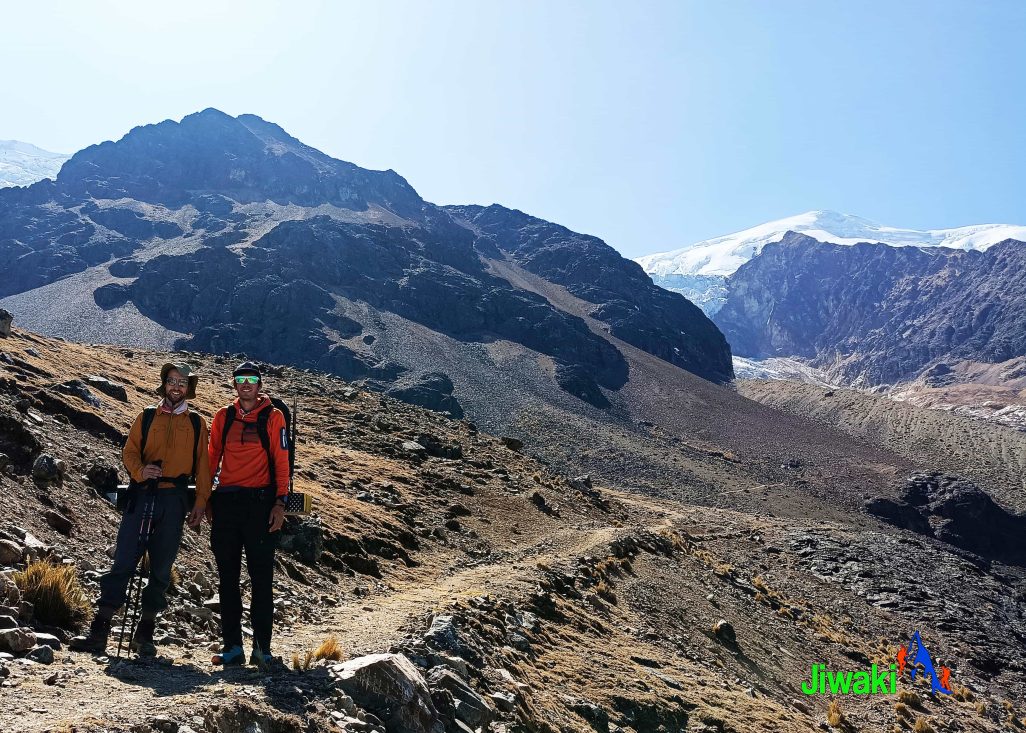
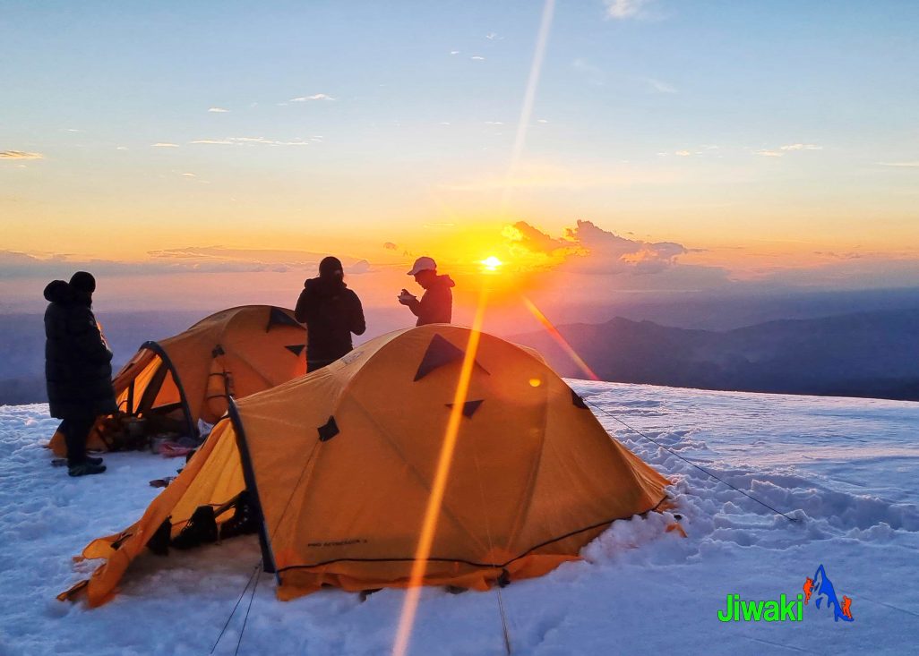
Our day will begin very early. Wake up time will be in the early morning hours and we will get dressed with the climbing clothing and equipment and have breakfast.
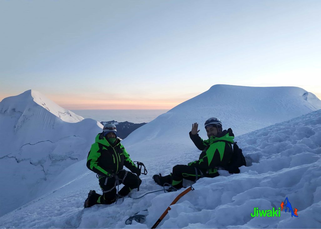
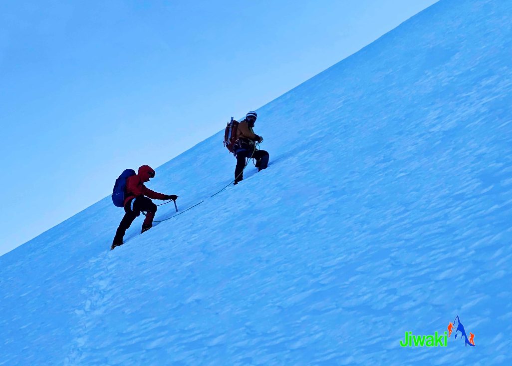
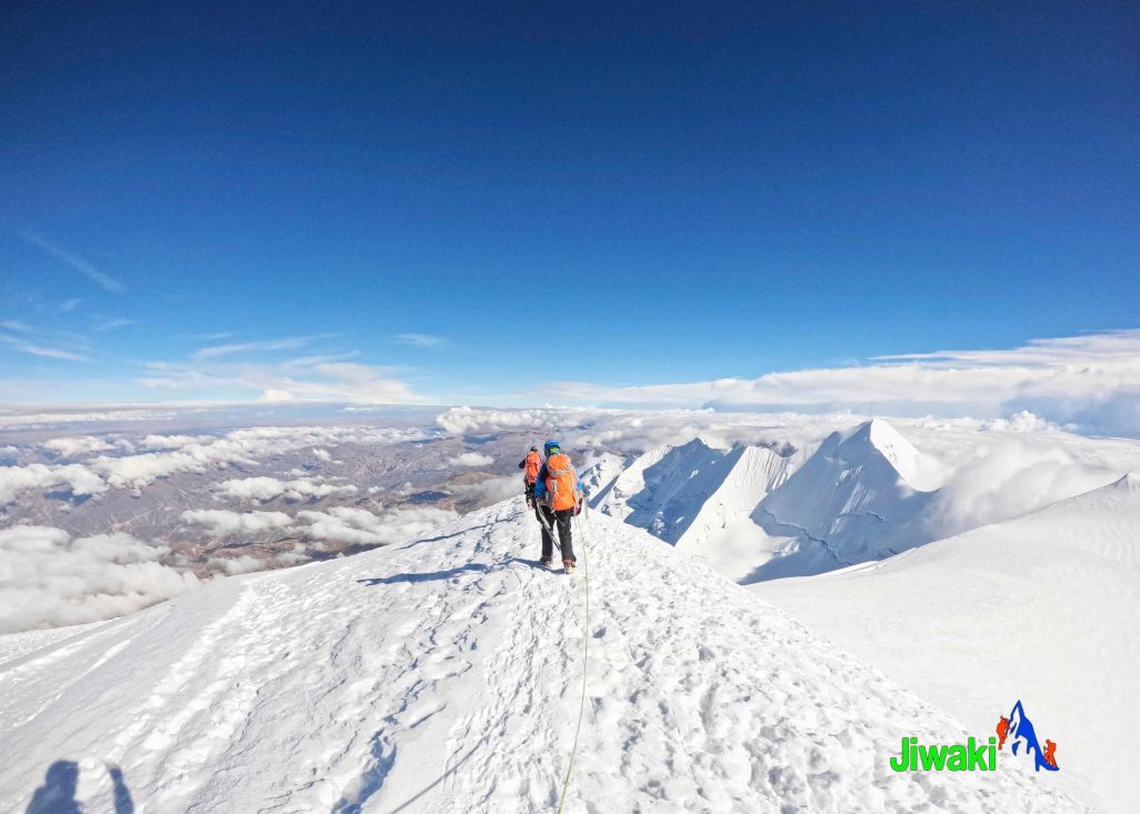
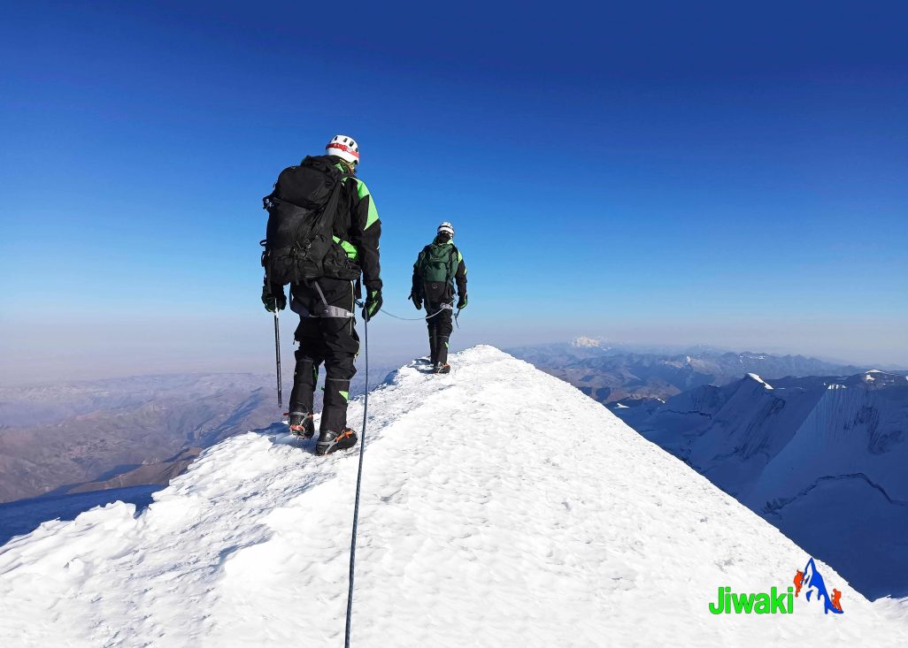
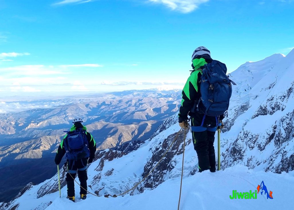
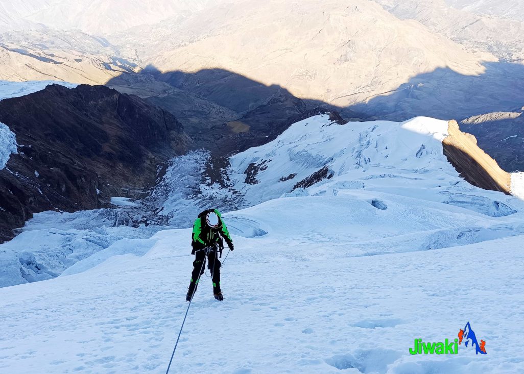
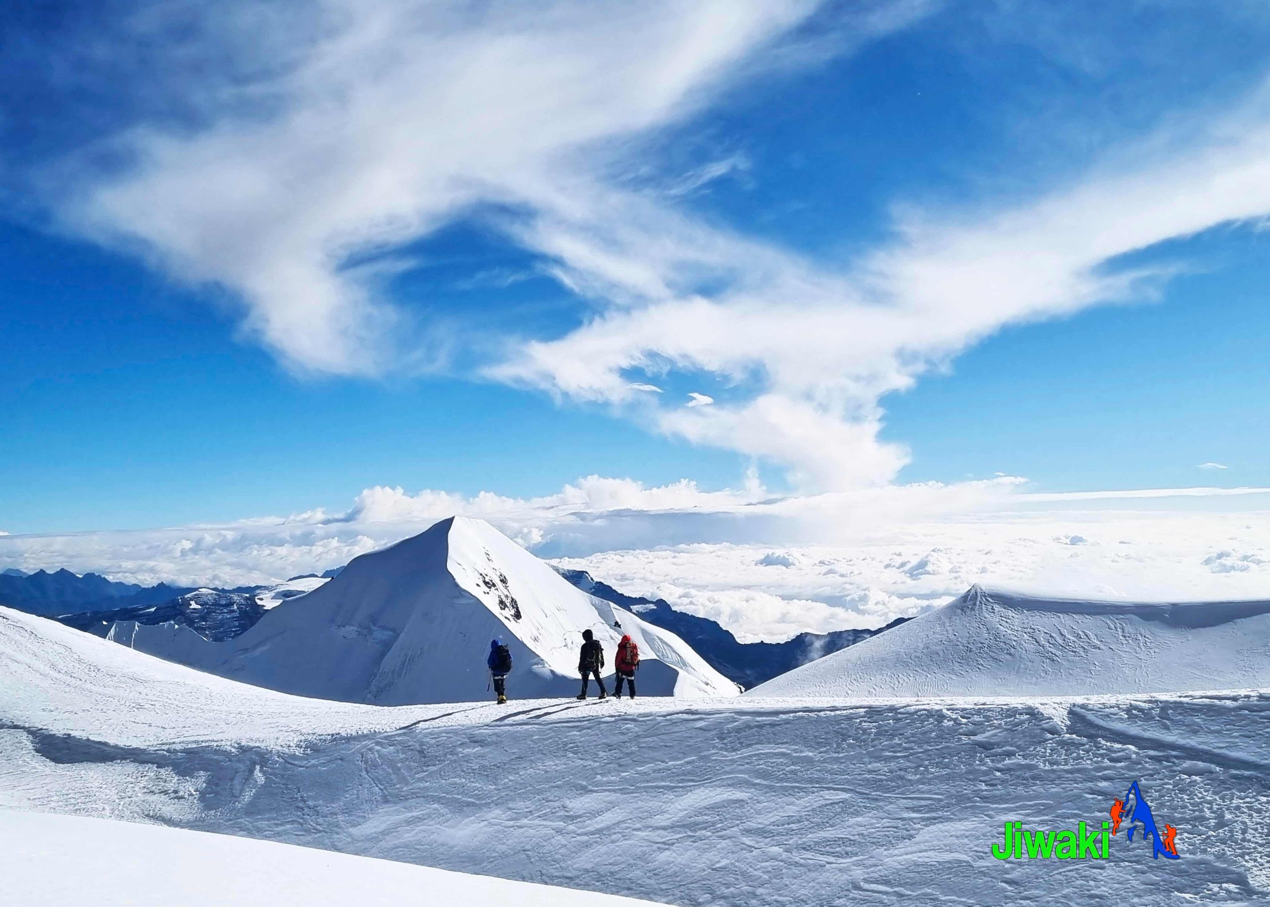
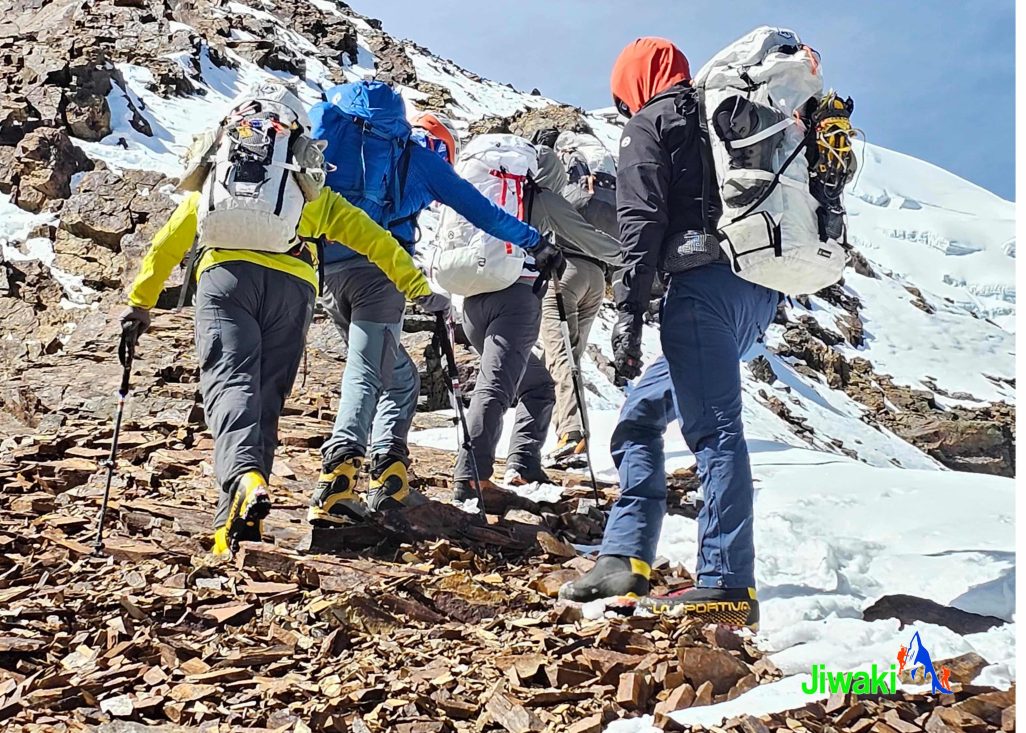
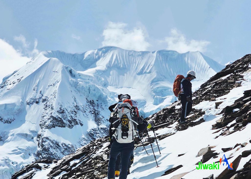
Once prepared, we will begin the ascent. We will have short breaks to rest and eat chocolates and drink water during the ascent. On the way we climb up icy ridges and weave around crevasse hazards before reaching the most difficult section, a 200 meter slope with an inclination of around 50 degrees.
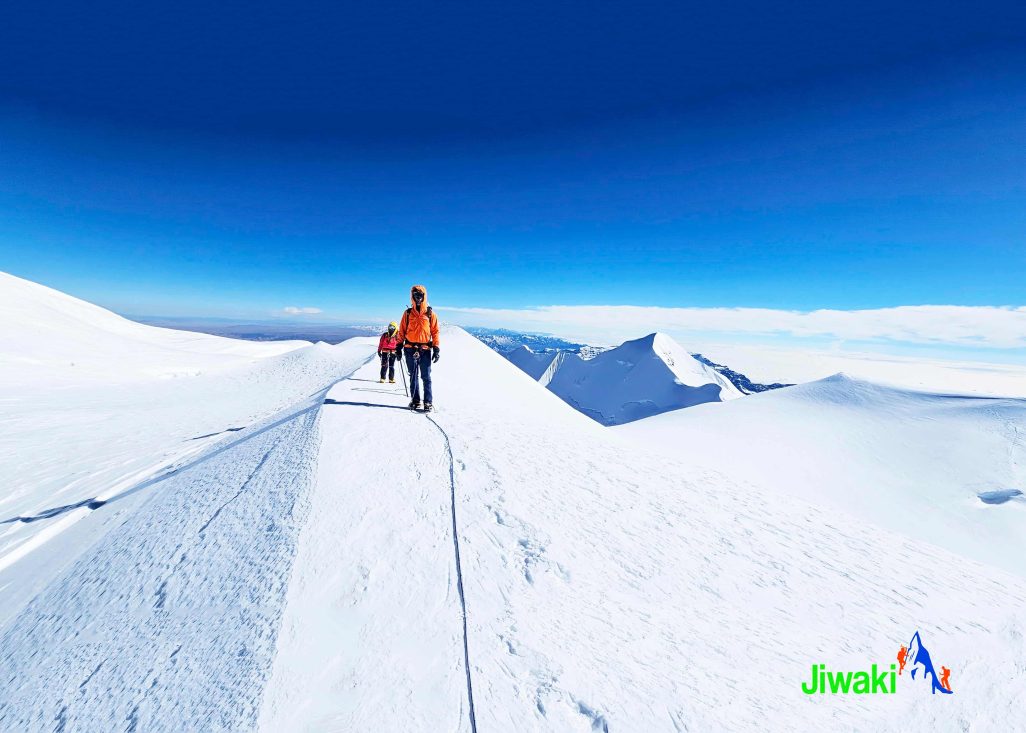
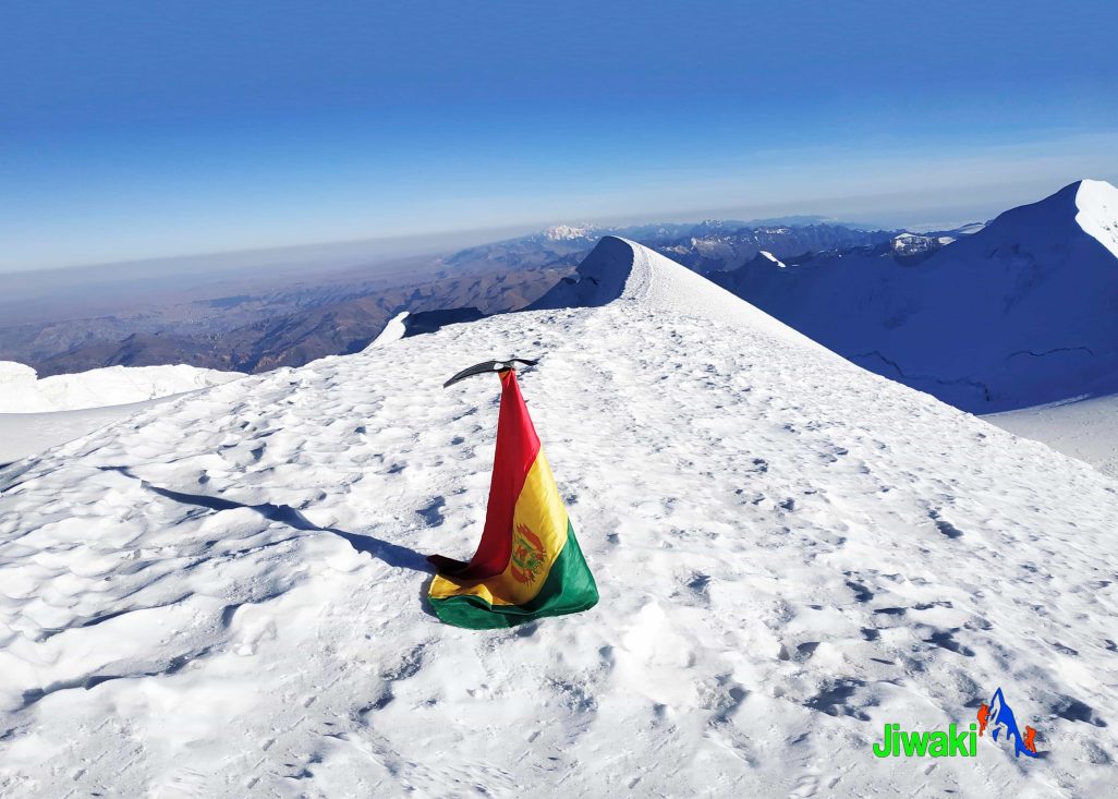
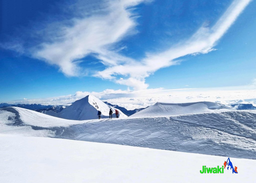
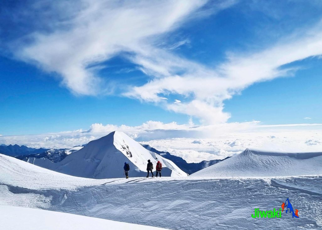
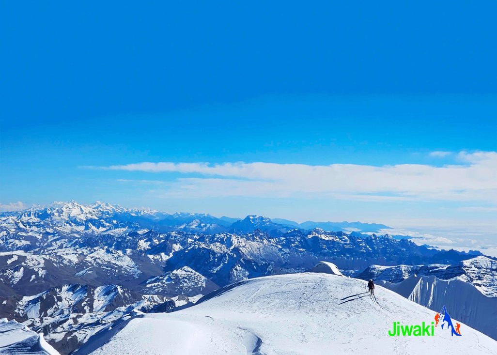
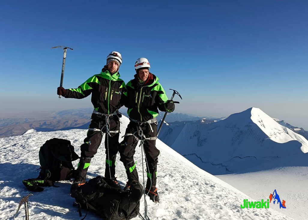
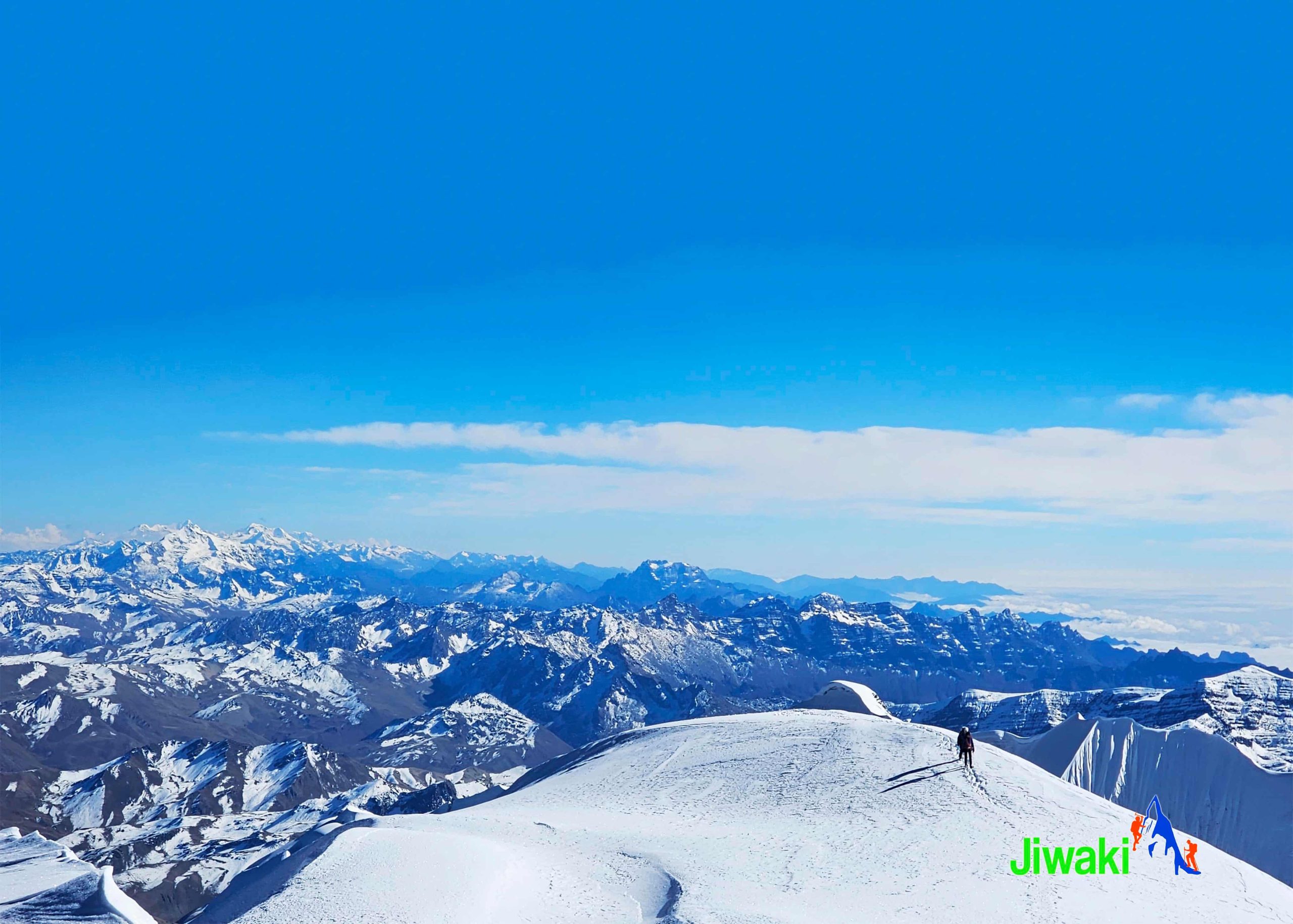
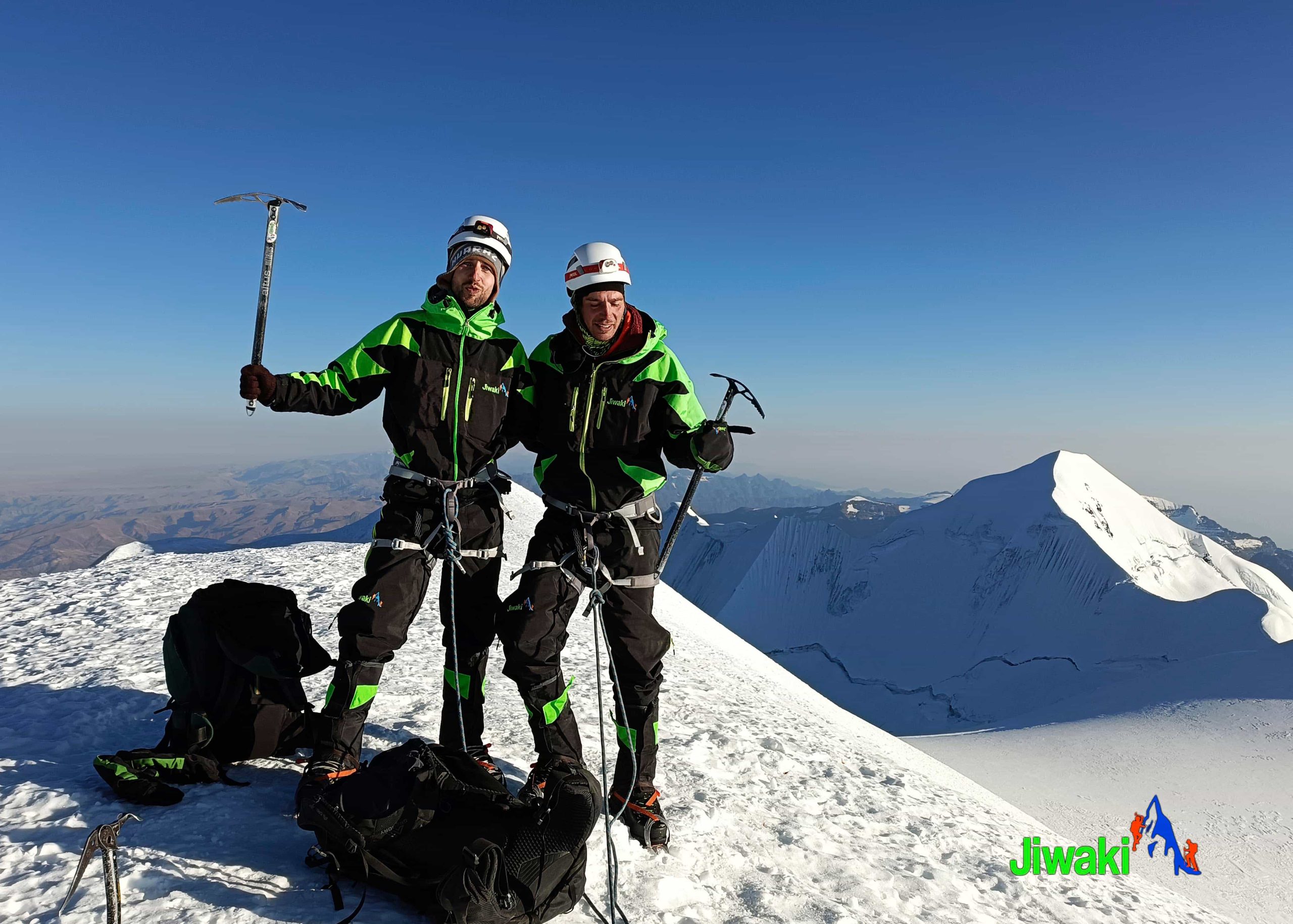
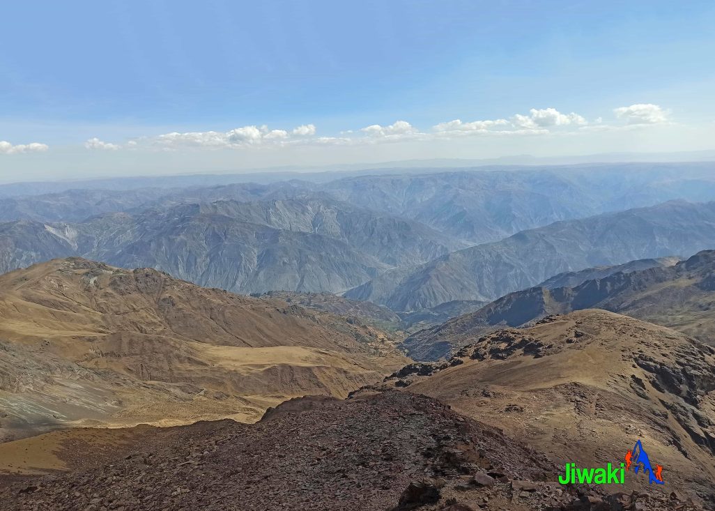
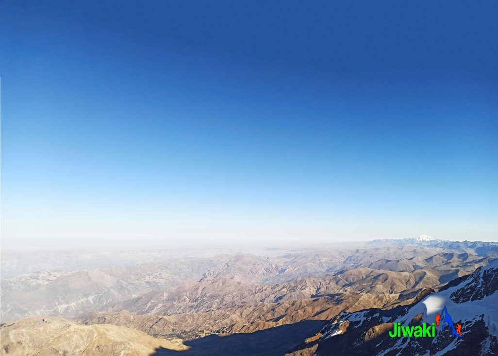
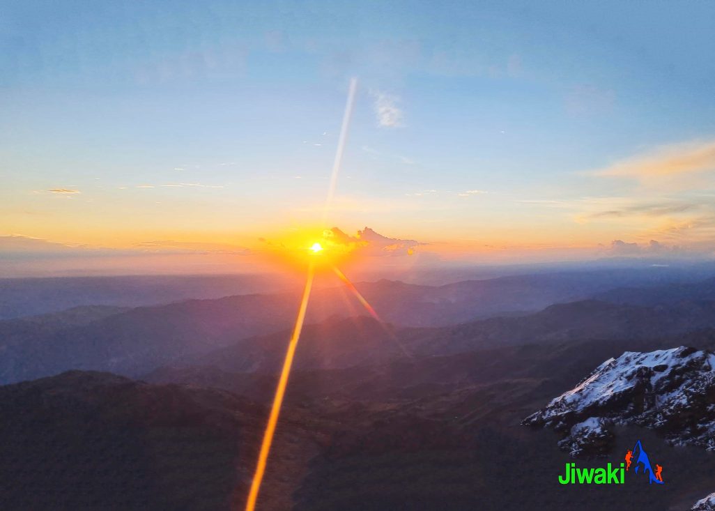
After completing the rising traverse to the summit (6,439m. / 21,125) , we enjoy views of the Andean plateau, the surrounding peaks of the Cordillera Real, and the surrounding lower peaks of the Illimani massif.
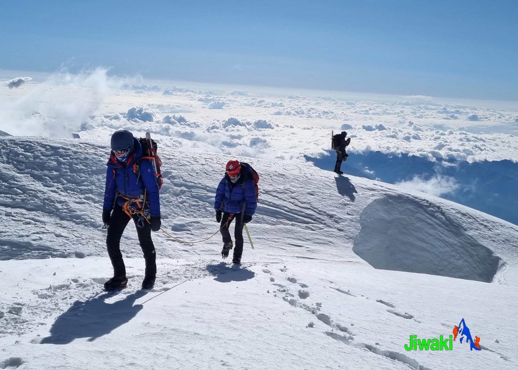
Our descent to high camp will take around 3 hours and upon arrival we will have soup and hot drinks. At the high camp we will re-pack our backpacks and make the descent to base camp. We will then return directly from base camp to La Paz via (3,600m. / 11,811ft.) our private transport.
-
Summit Day:
- Hiking time: 9–10 hours (High Camp → Summit → High Camp), plus approximately 3 hours from High Camp to Base Camp
- Distance:
- High Camp → Summit → High Camp: 5 km
- High Camp → Base Camp: 3.5 km
- Total distance: 8.5 km
- Highest point: Illimani Summit – 6,439 m (21,125 ft)
- Elevation gain/loss:
- Ascent: +940 m (+3,080 ft)
- Descent: –1,943 m (–6,375 ft)