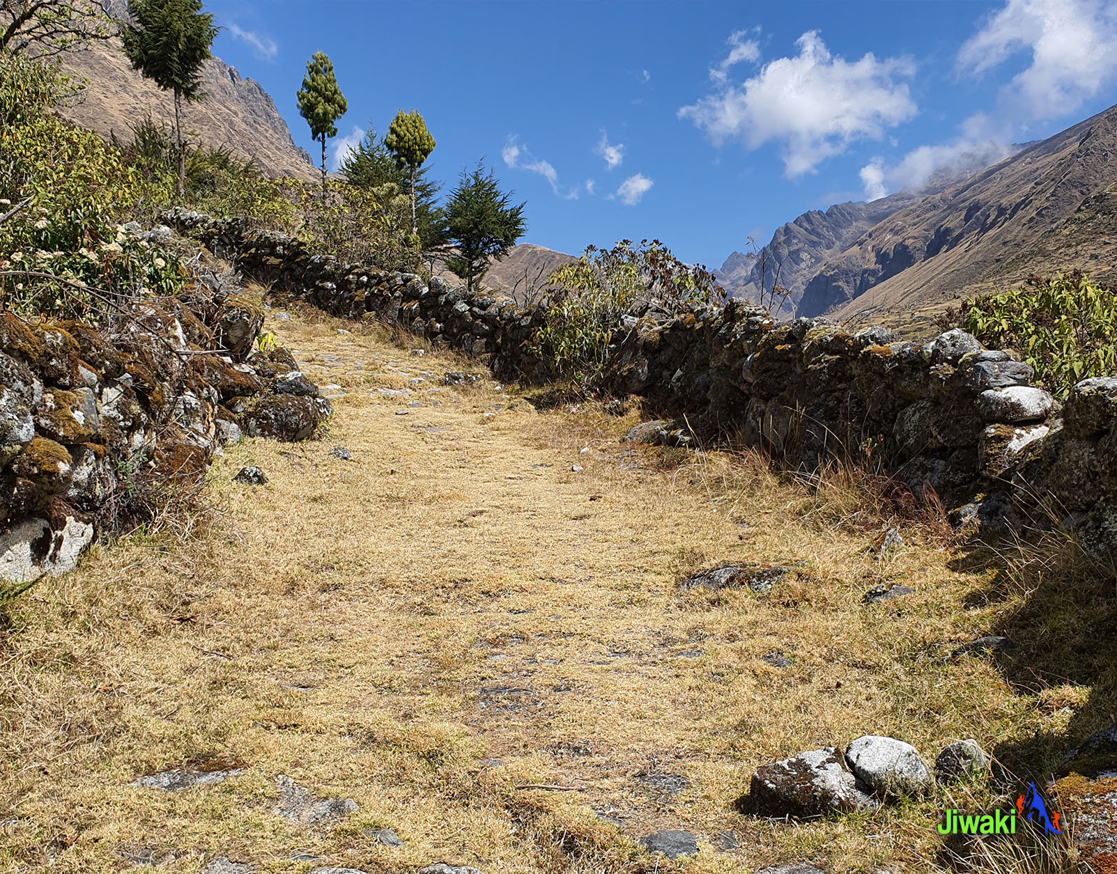
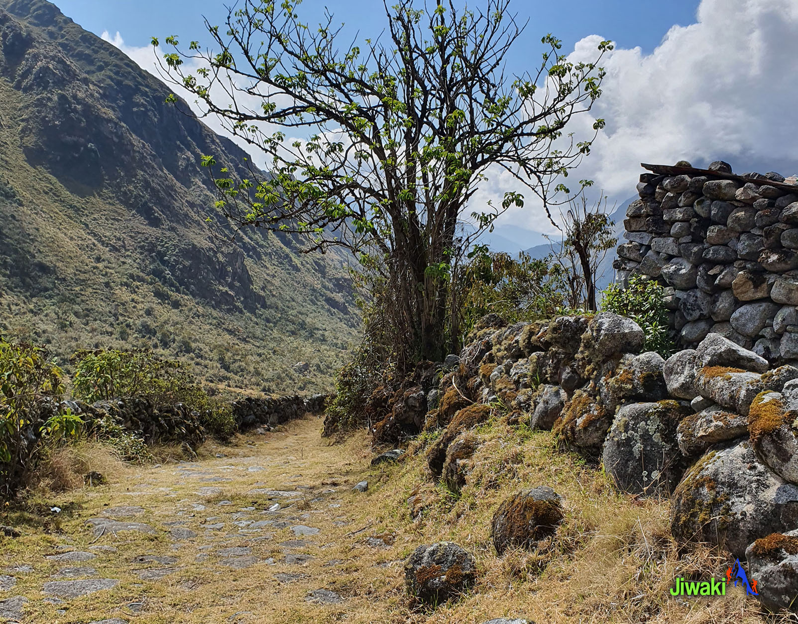

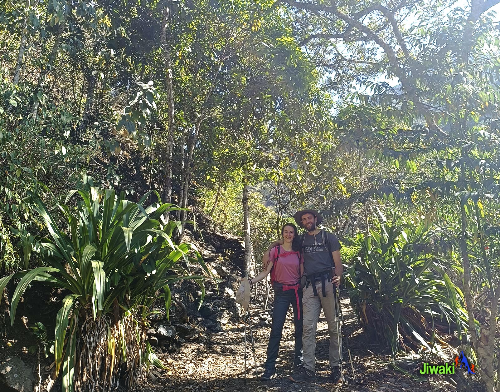
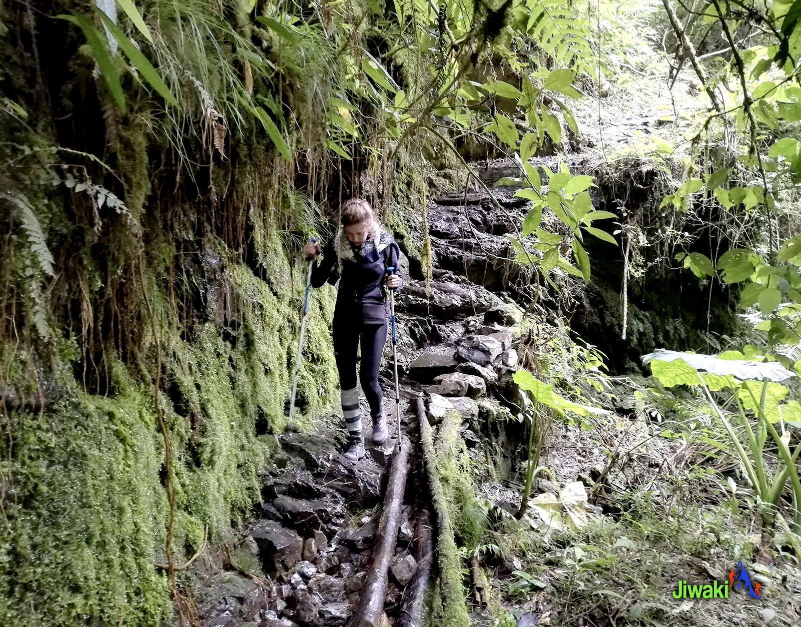

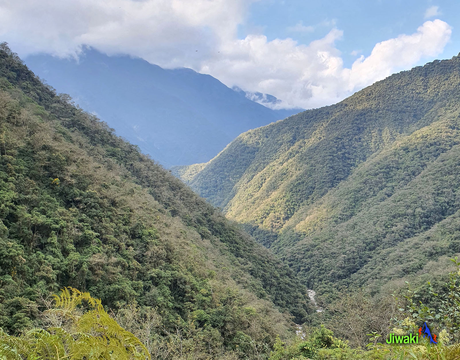
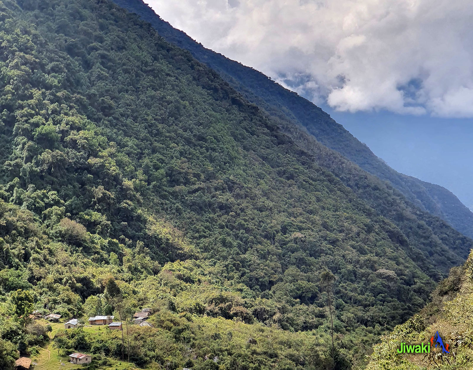
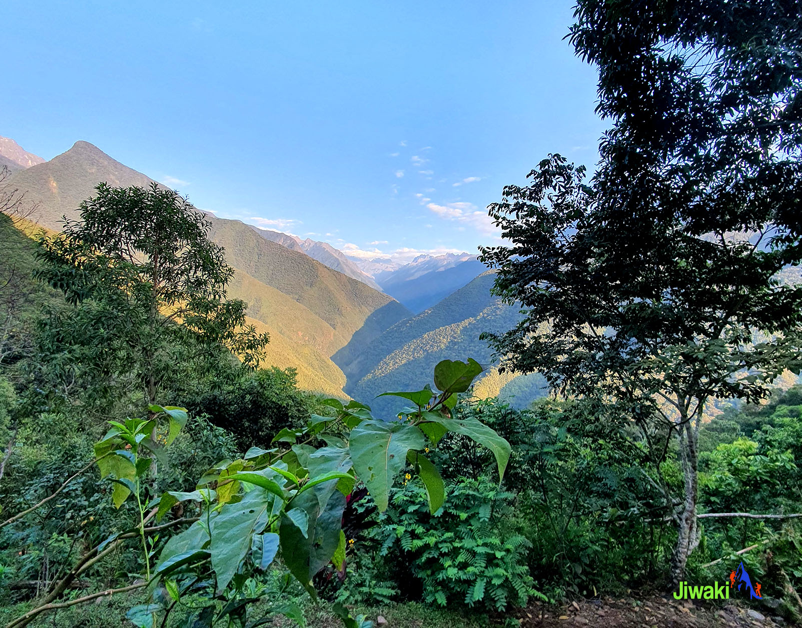
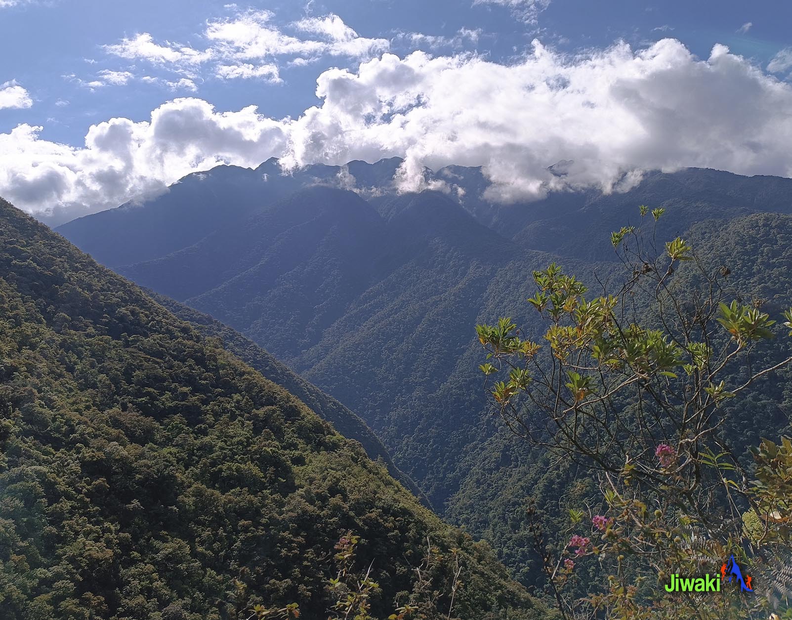
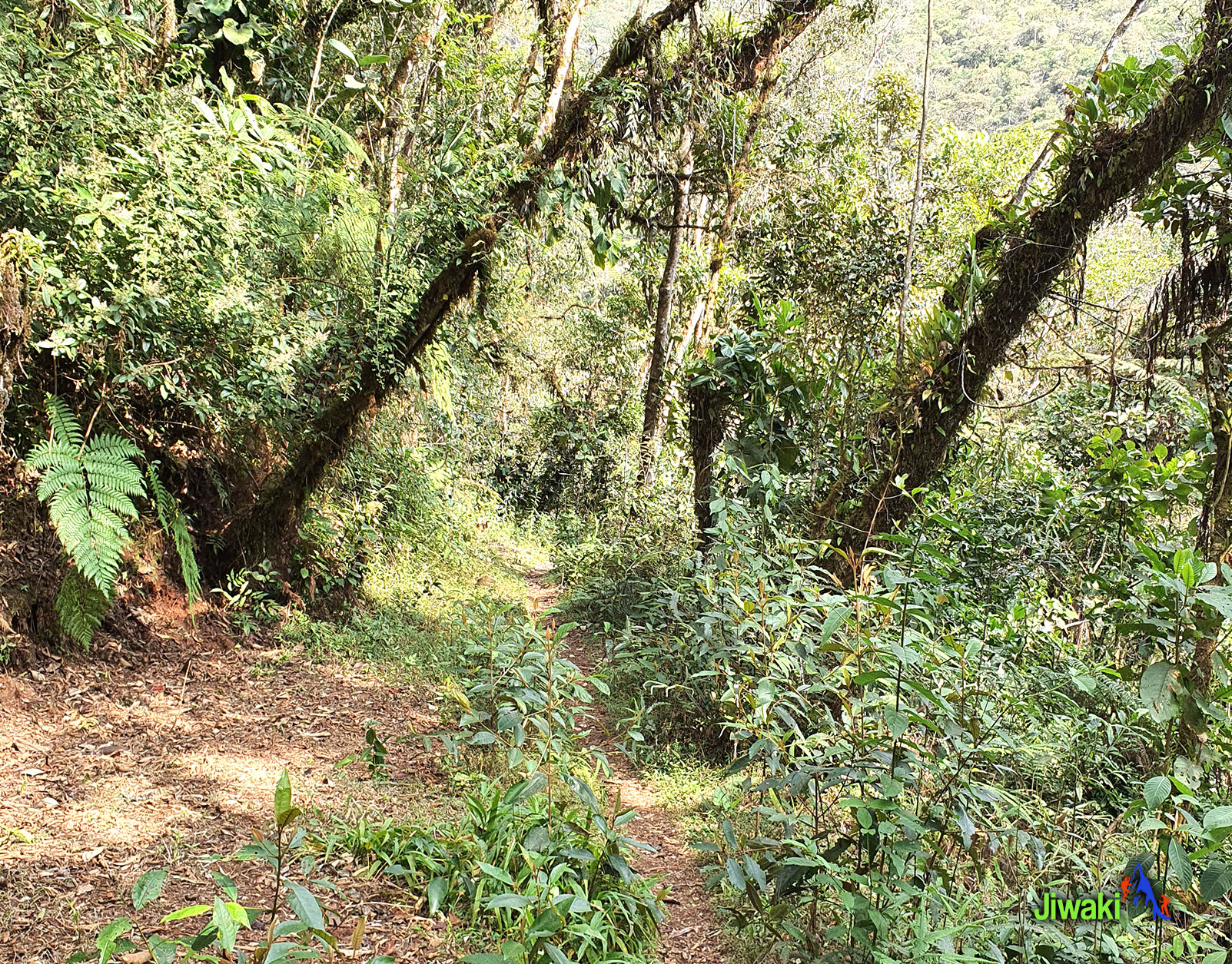
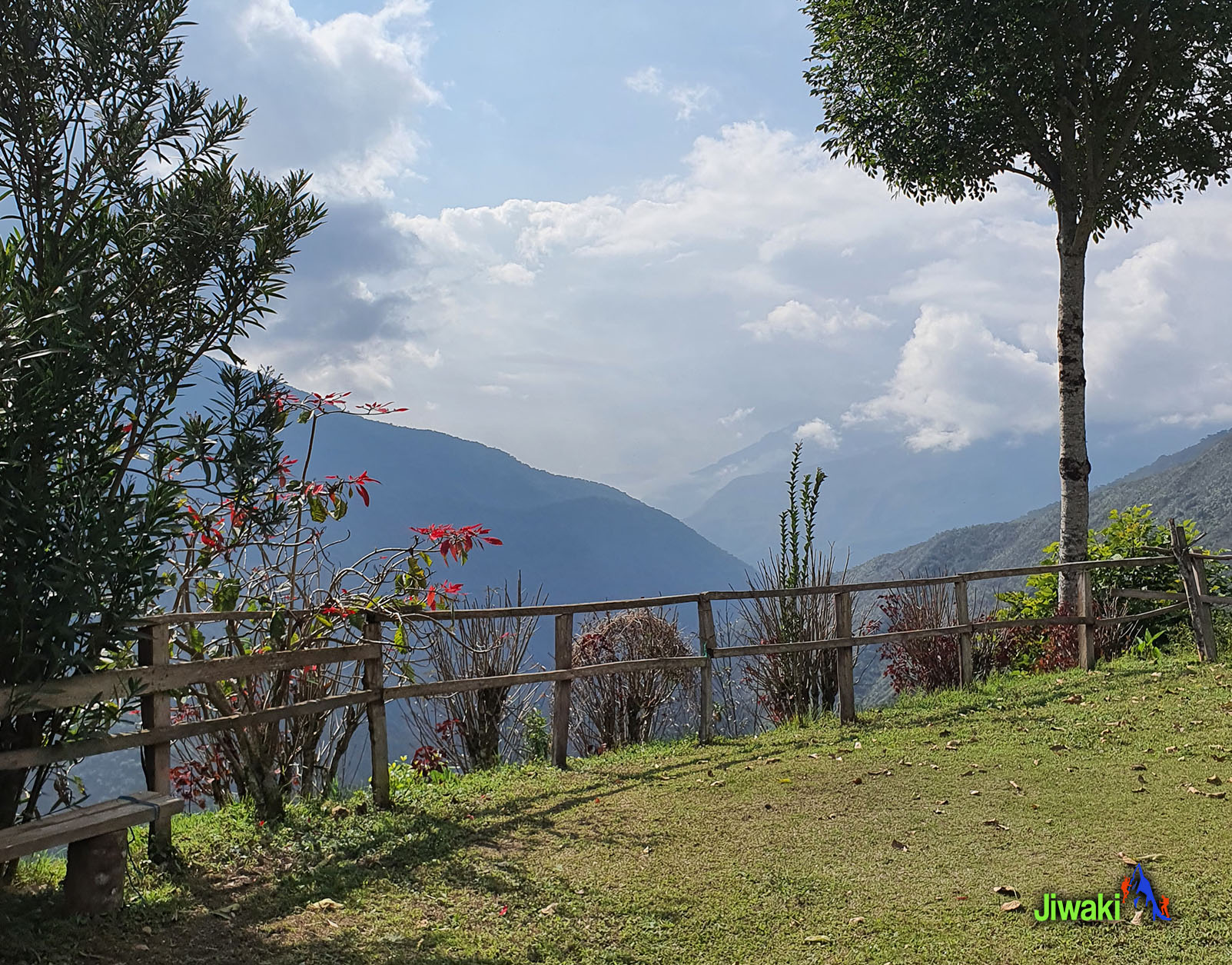
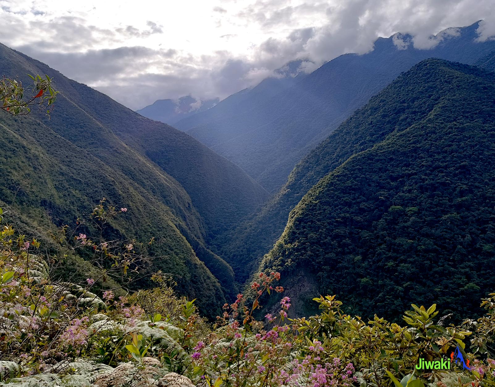
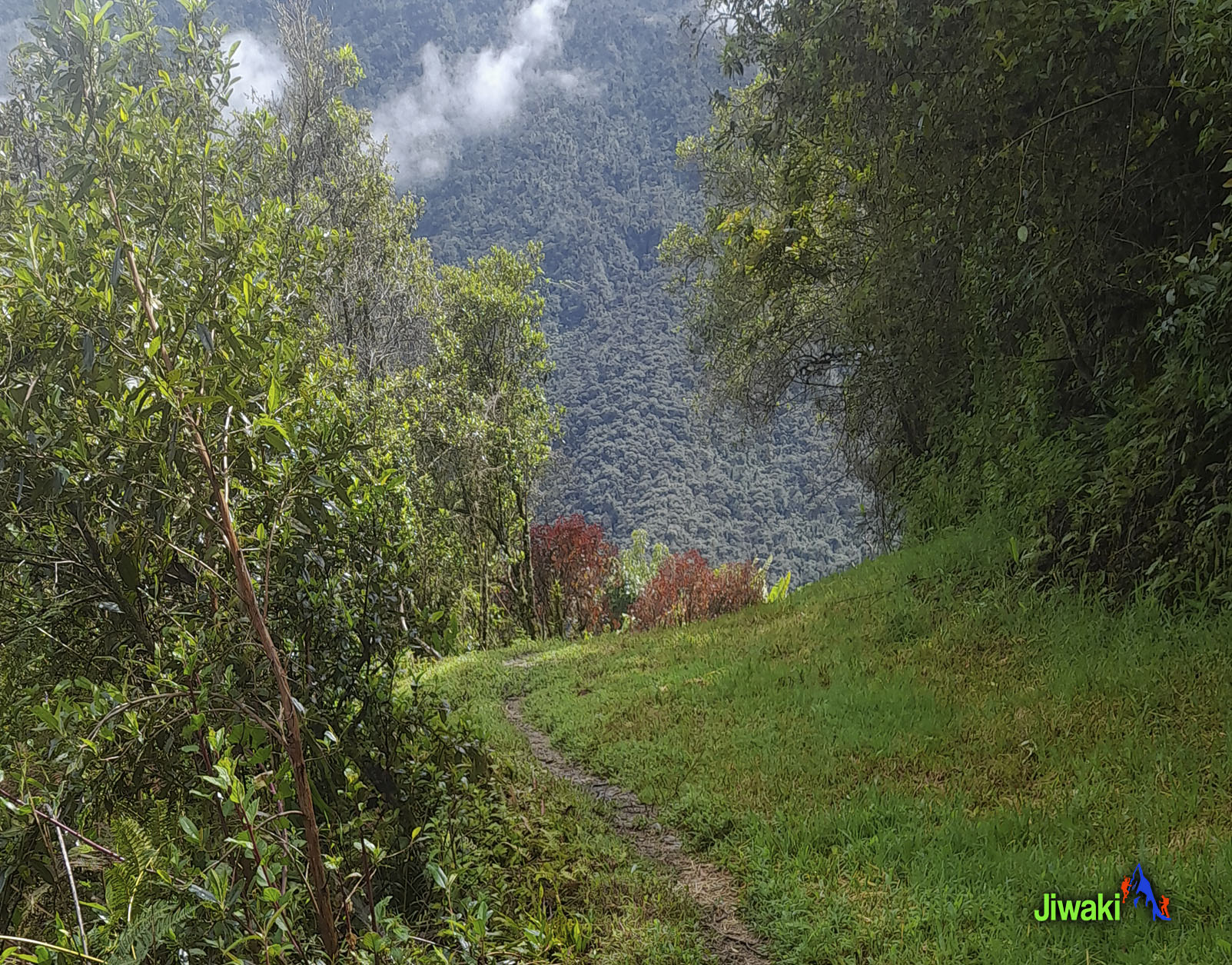

The Choro Inka Trail hike is within the National Park and Integrated Management Natural Area Cotapata. The trail was an ancient Inca trade route used in pre-Colombian times and today passes by Inca ruins. The road follows a transitional landscape, beginning in the grey rocky, snow-capped Andean pass of La Cumbre right the way down into the lush green tropical forest in the Yungas where waterfalls aplenty flow into the Chucura and Huarinilla River.
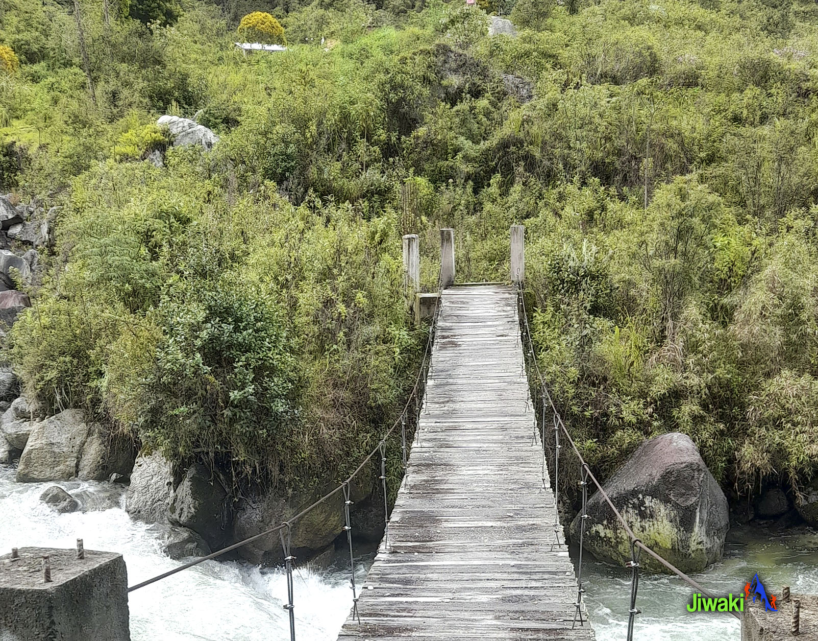
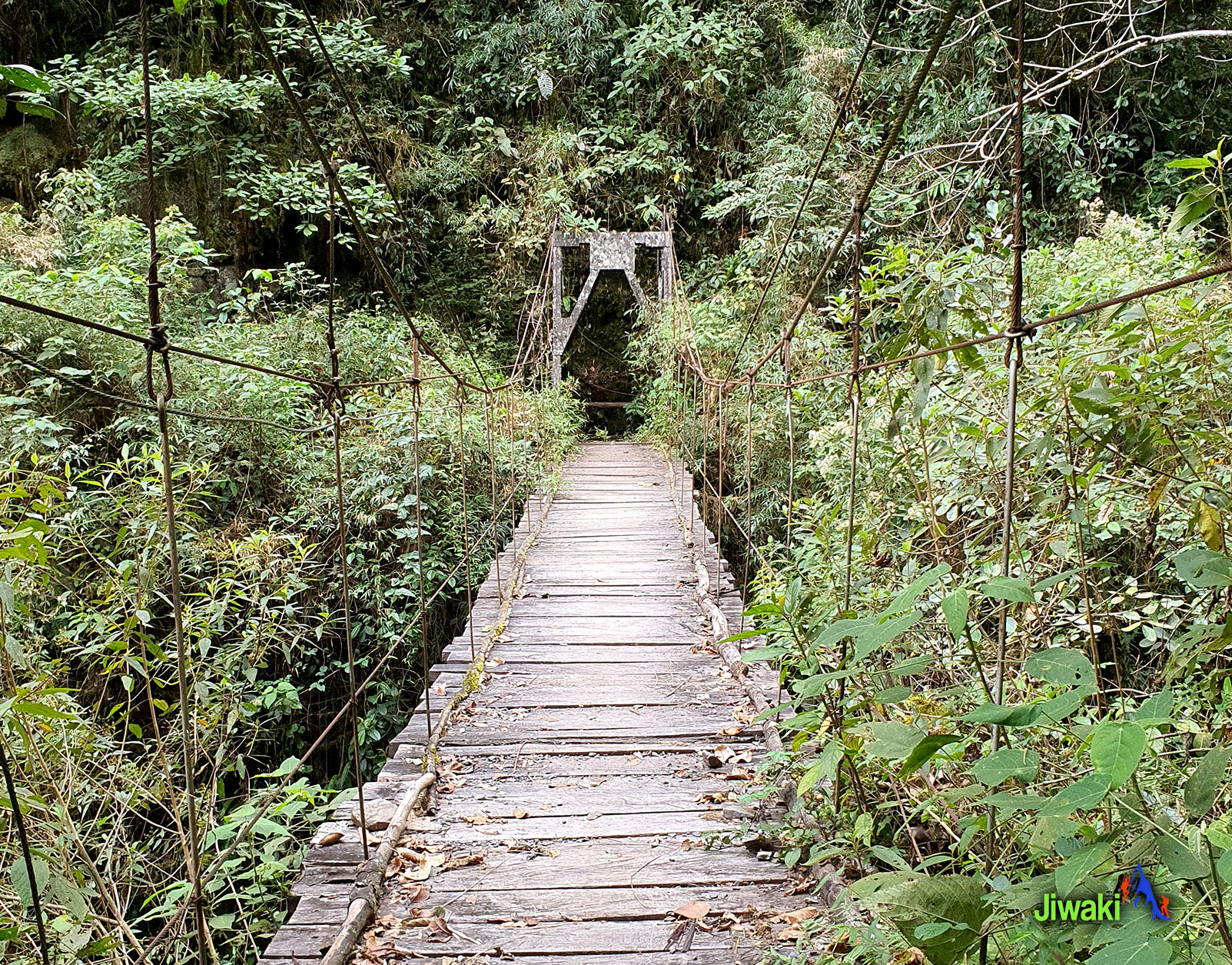
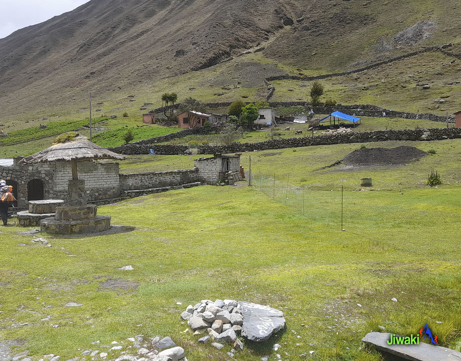
Nowadays it provides walking access (and even cycling or driving!) between towns in La Cumbre to the small remote villages in the valley below. The path ends in Chairo village but the road access for cars ends at the hamlet of Chucura community ahead of where the path crosses a river before Camp Challapampa.
The highest point of the hike is La Cumbre, at an eye watering (4,700 m 15,419 ft.). The views from here are unmissable, a stunning cross-section between the Andean Range and the Amazon rainforest.
The total distance of the hike is 42 km. approximately long from Chucura community to Chairo village and is typically walked in 3 days.
TRIP INFO:
-
Private go and back
-
La Paz - Bolivia
ITINERARY:
8:00 am start time from our office. or Hotel.
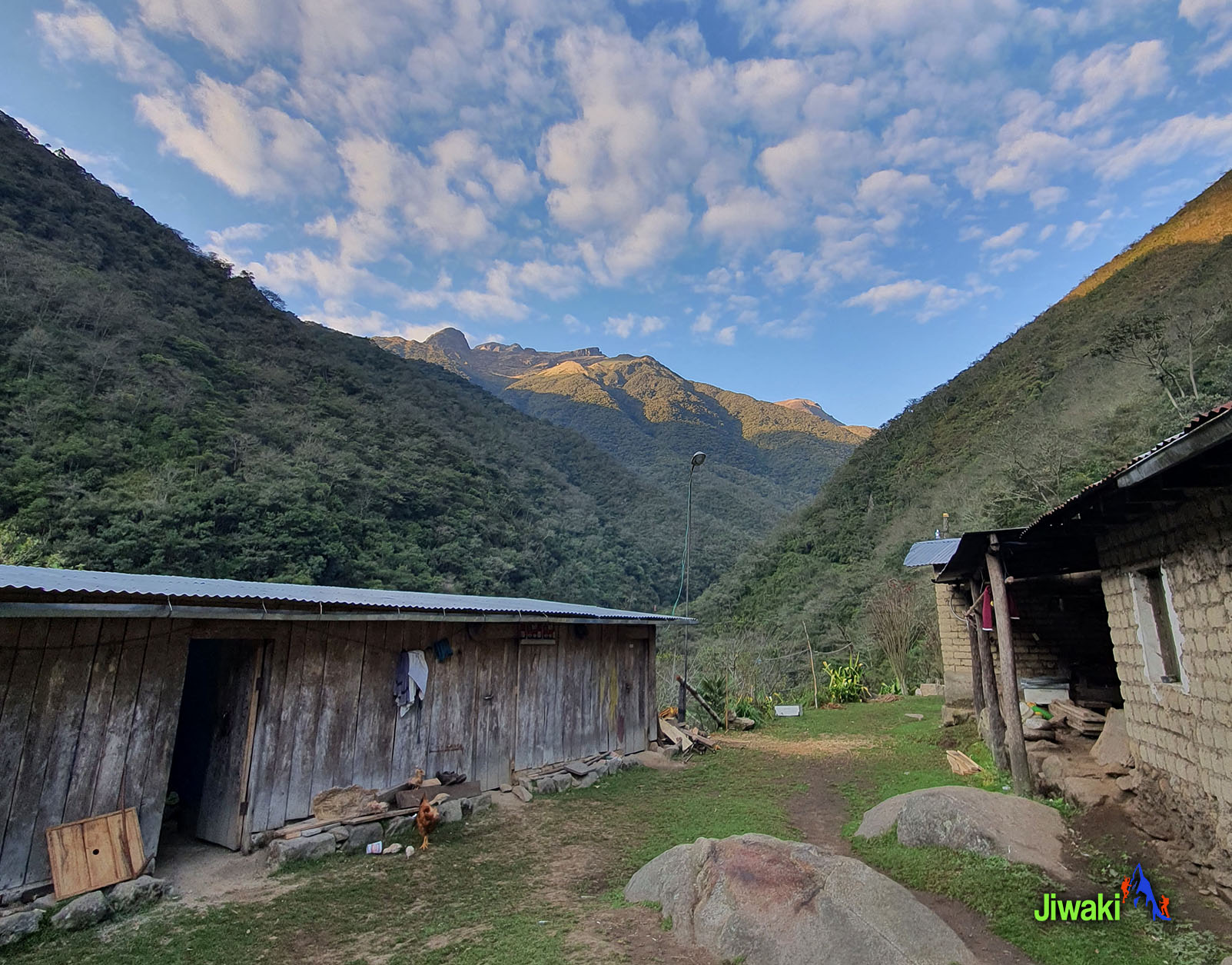
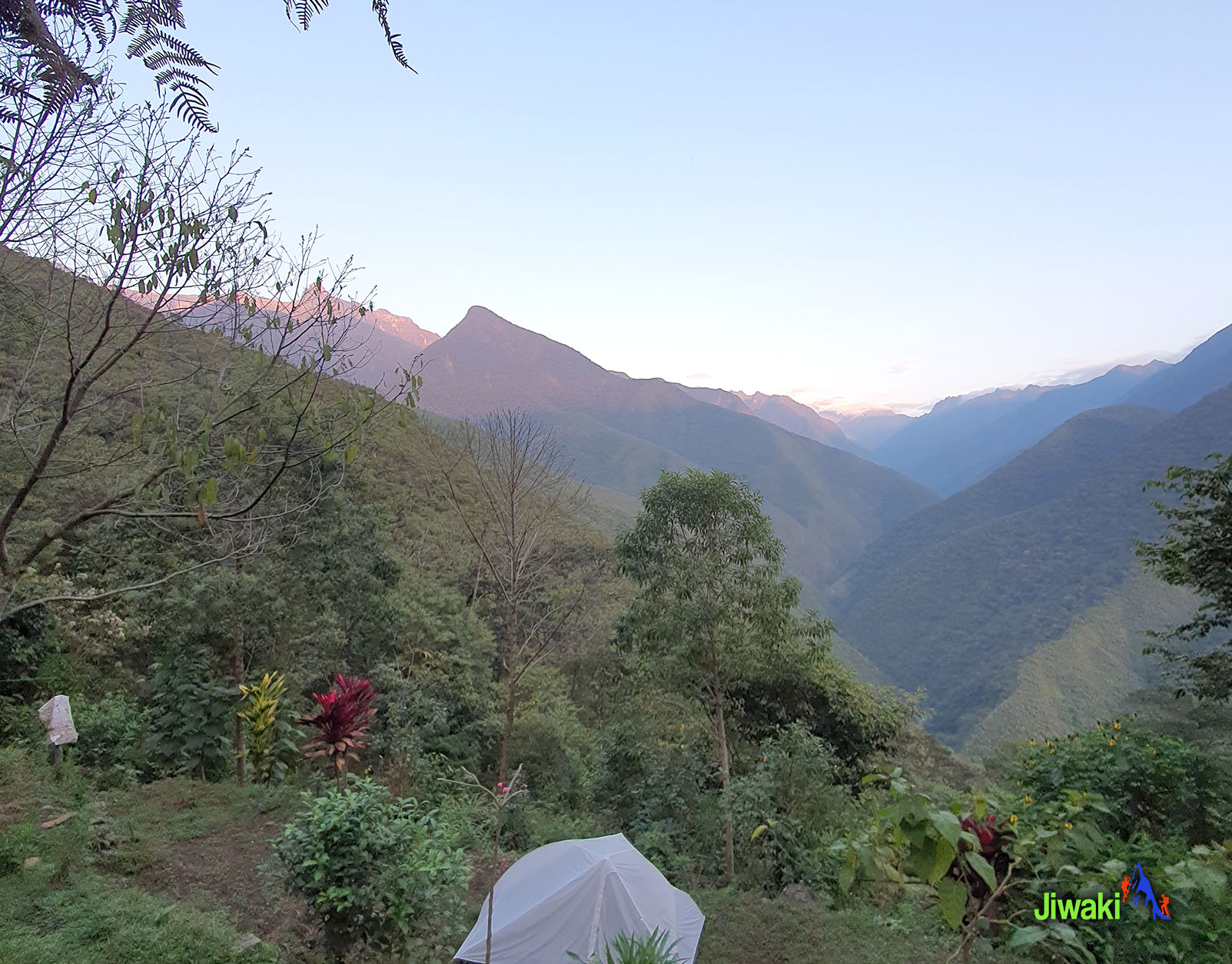
Departure from La Paz in the morning. The drive is 1 hour until La Cumbre at (4700 m / 15.419 ft),). from this place, we will have a stop at la Apacheta After this pass, there will be a spectacular descent of about 1 hour by transport from the grasslands of the upper Puna to the cloud forest or the Yungas, passing through the small community of Chucura at (3650 m. / 11,975 ft. )Later, we will start our hike until arriving at Camp Challapampa (2800 m. / 9.186 ft.). We will have lunch over there. Then we continue our hike until arriving at Camp Buena Vista around 17:00 p.m. or 18:00 p.m. Dinner and accommodation at Camp Buena Vista at (2280 m. / 7,480 ft.) .
The hiking time will be around 7 hours (14 km walk).
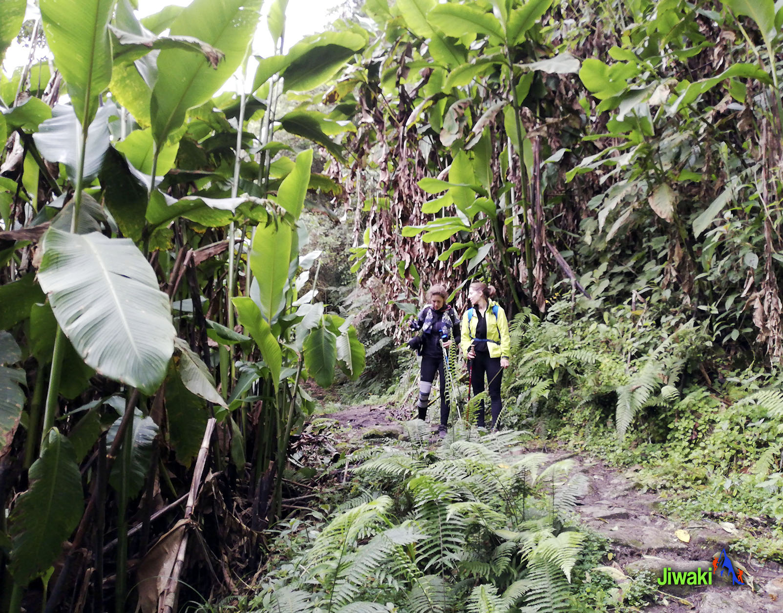
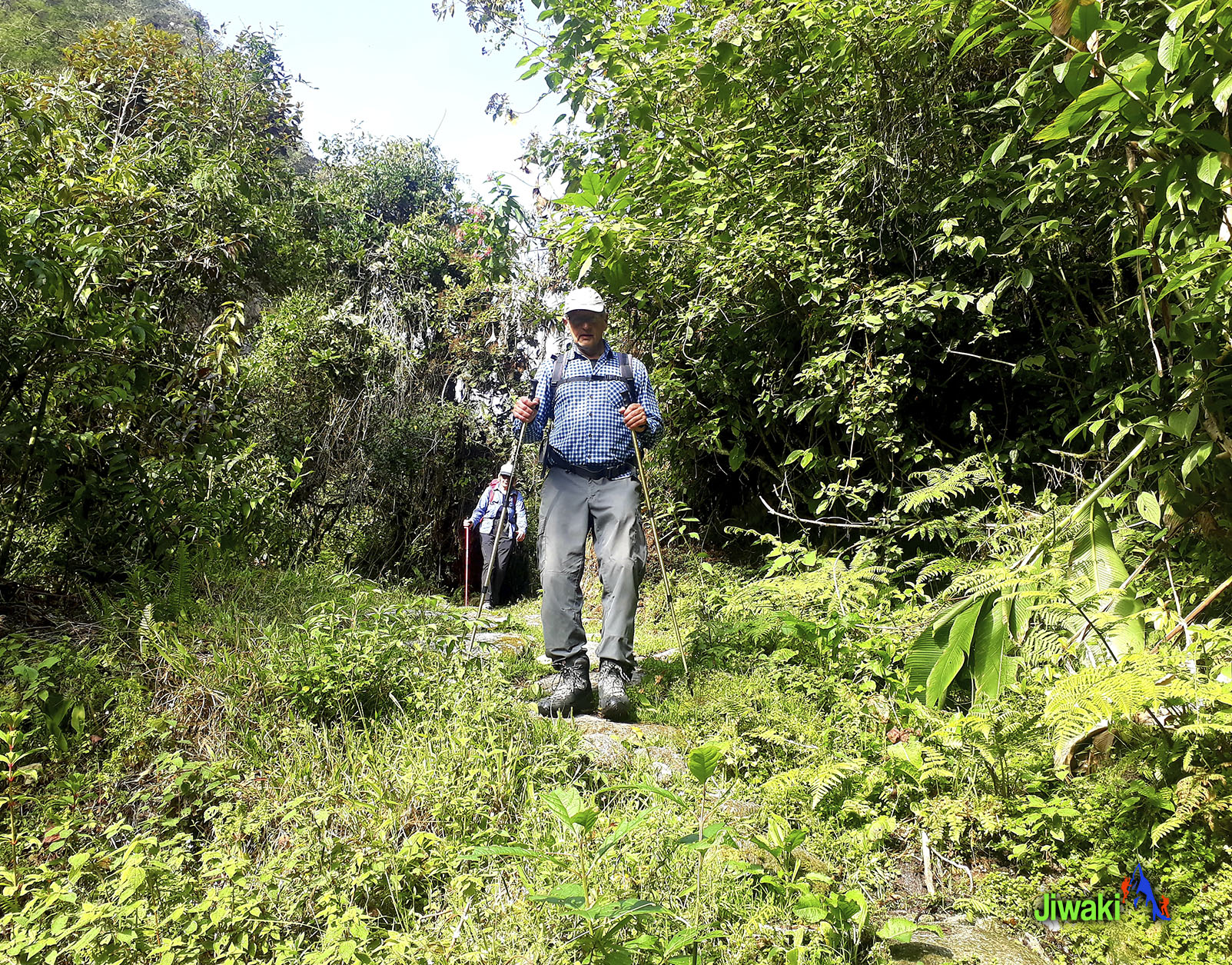
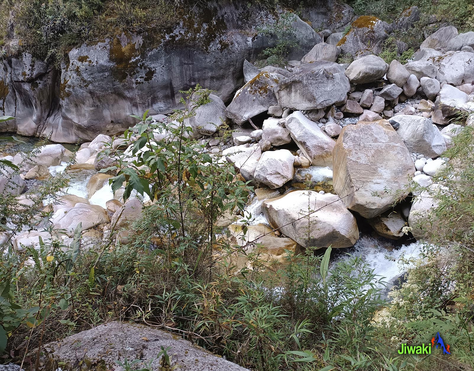
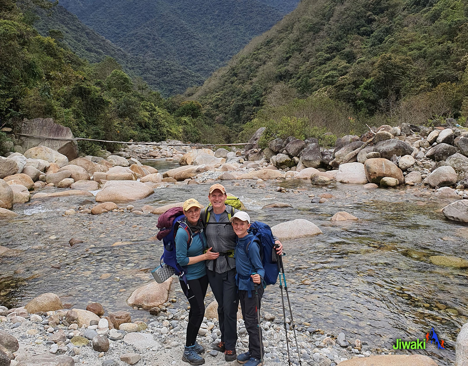
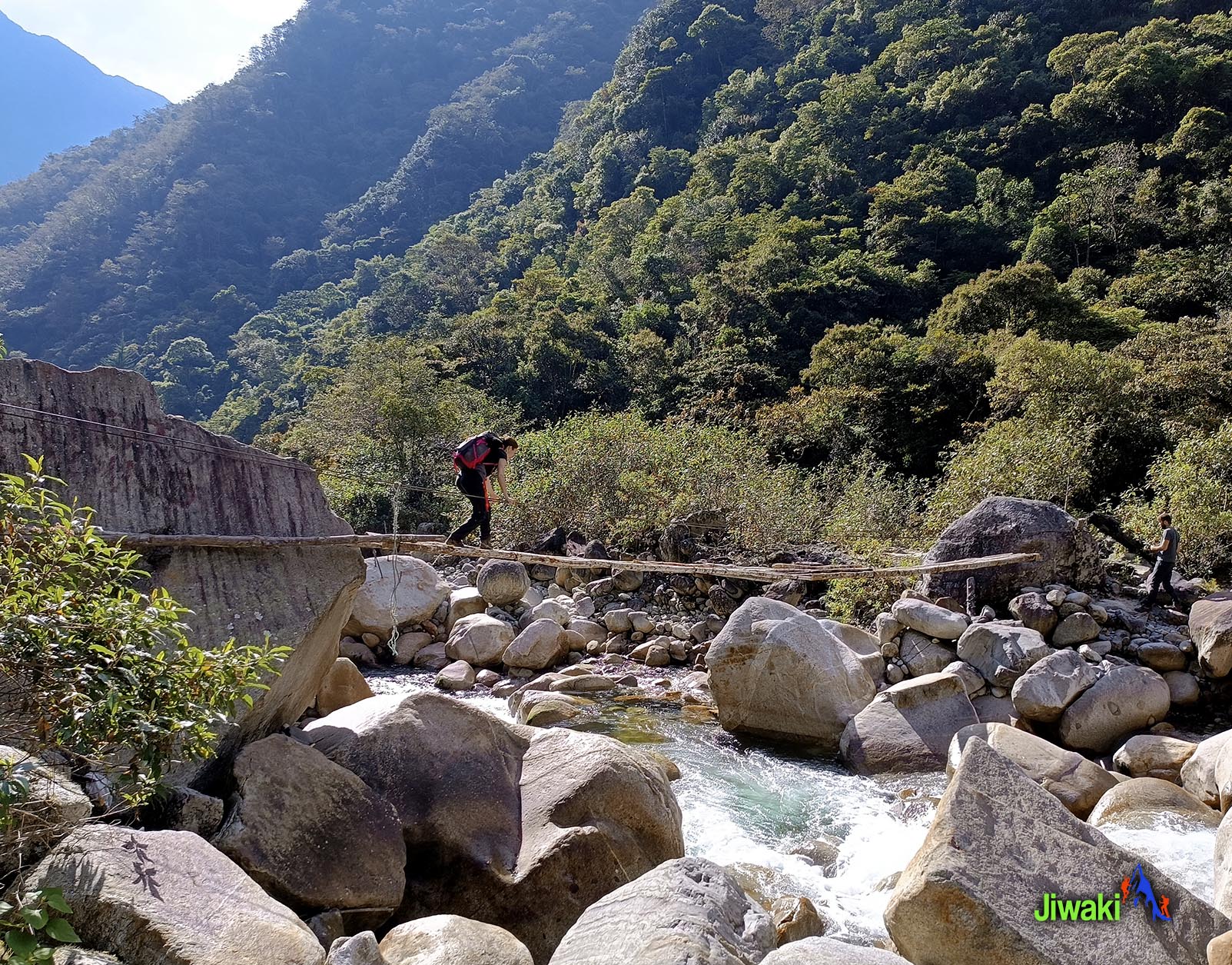
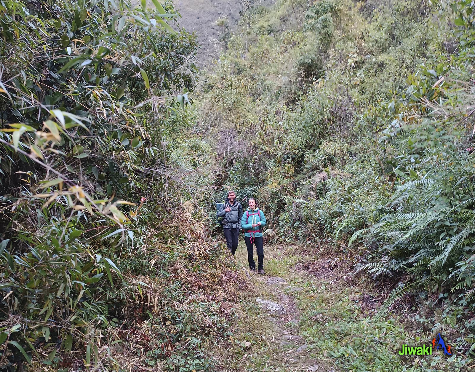
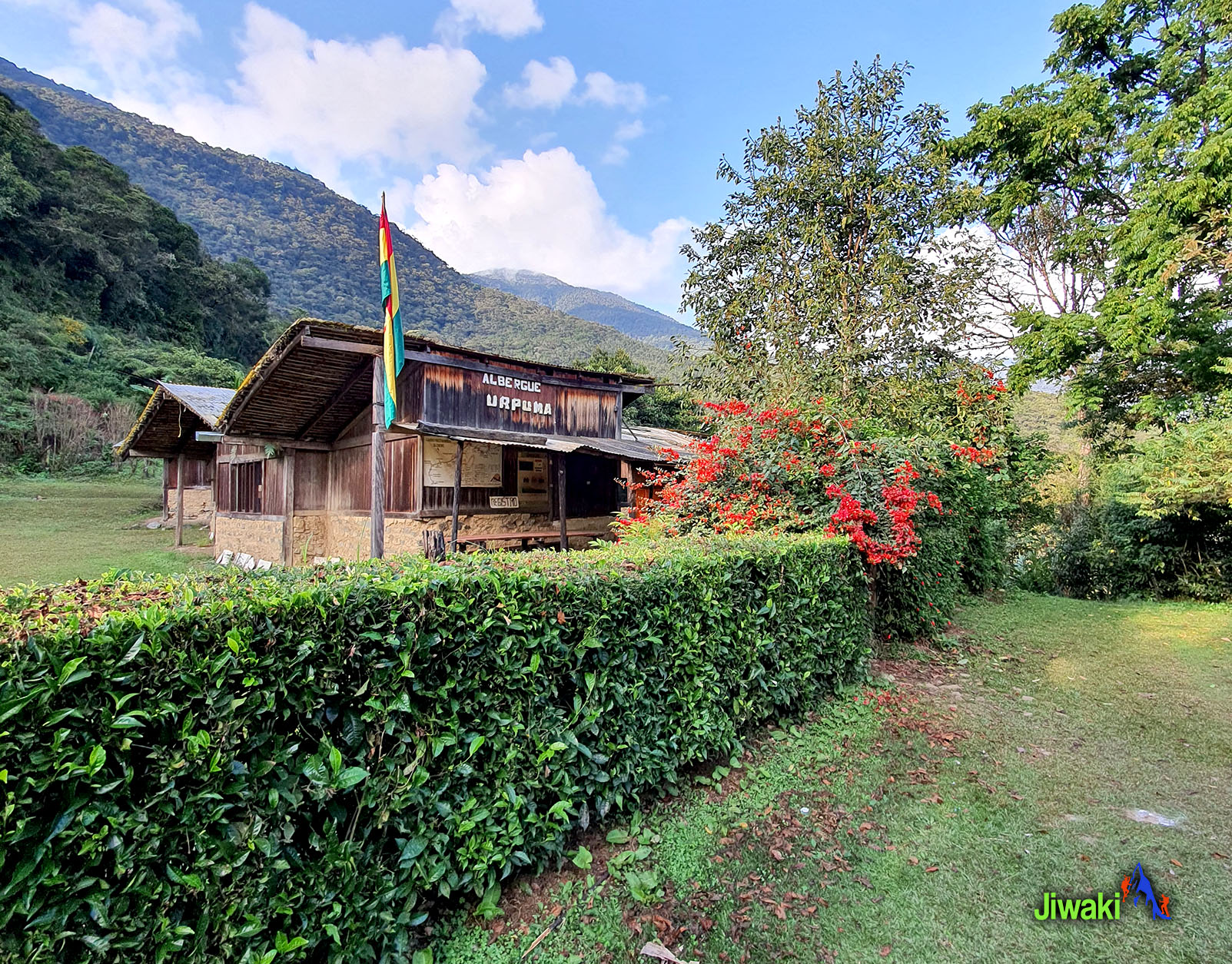
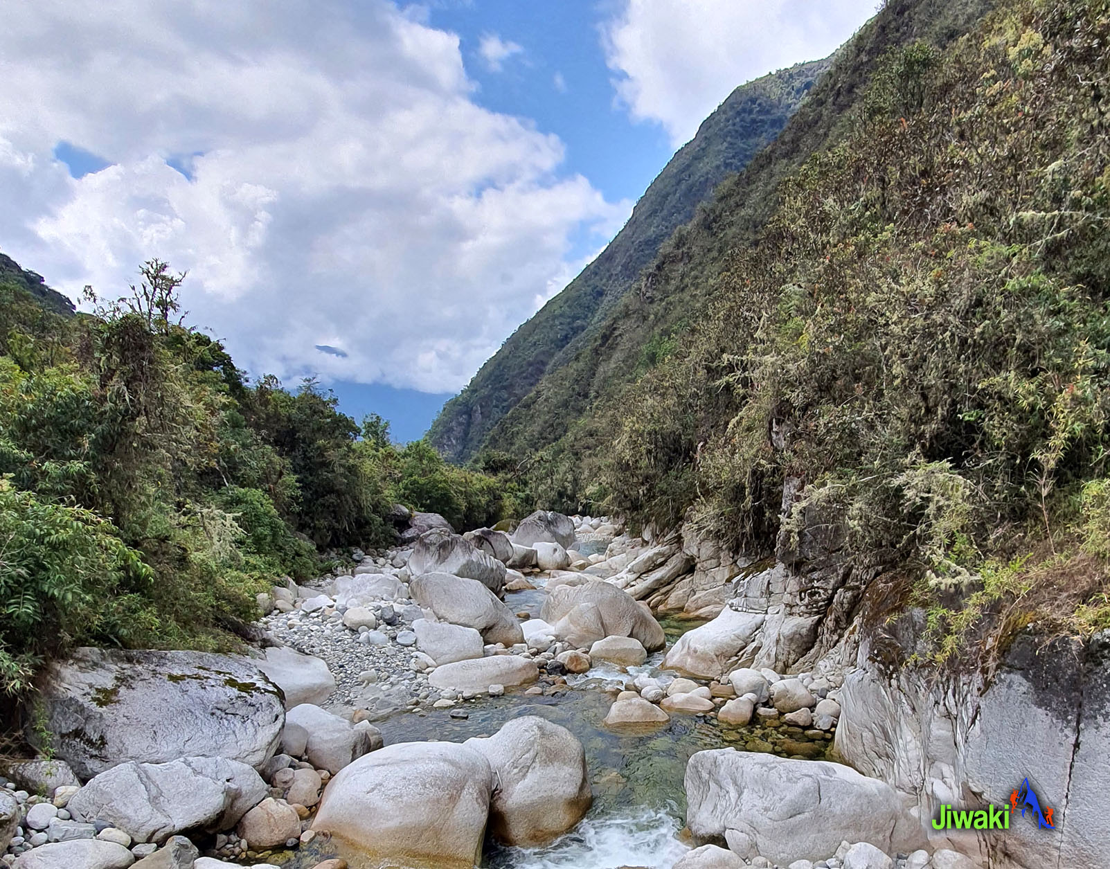
After breakfast at 08:00 a.m. you will continue our hike going down by hiking along a scenic trail with a dynamic landscape that begins changing from the dry arid land to a sub-tropical environment. After a 2-hour hike you will cross the Rio Chucura, and the Rio Jucumarini. The trail continues through several hamlets such as Super Vista before stopping at Camp Sandillani (1980m. / 6.496 ft.). where we will sleep the second day.
The hiking time will be around 8 hours (19 km walk).
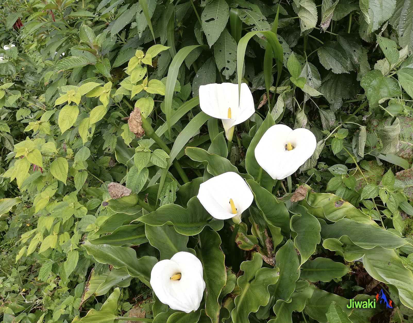
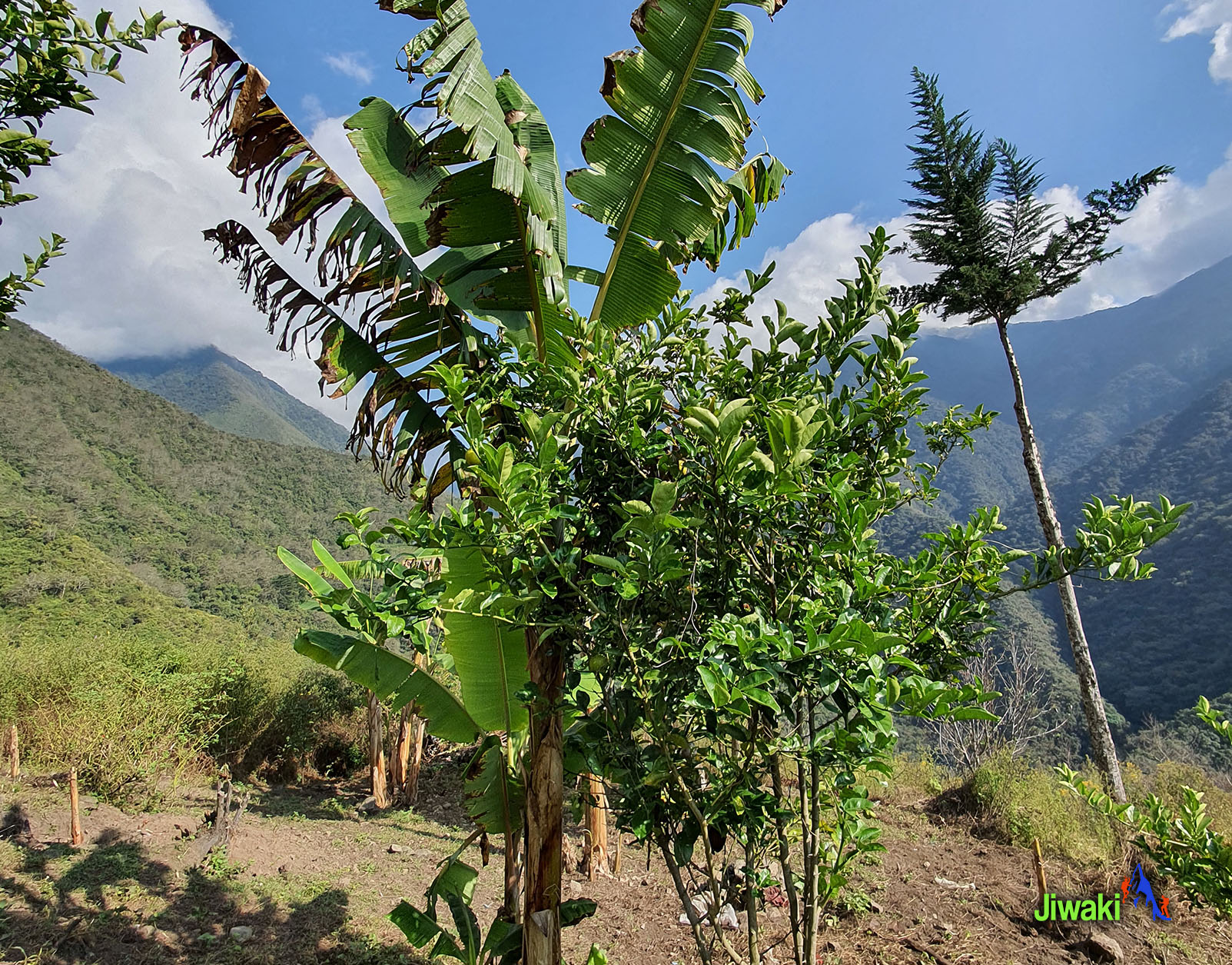
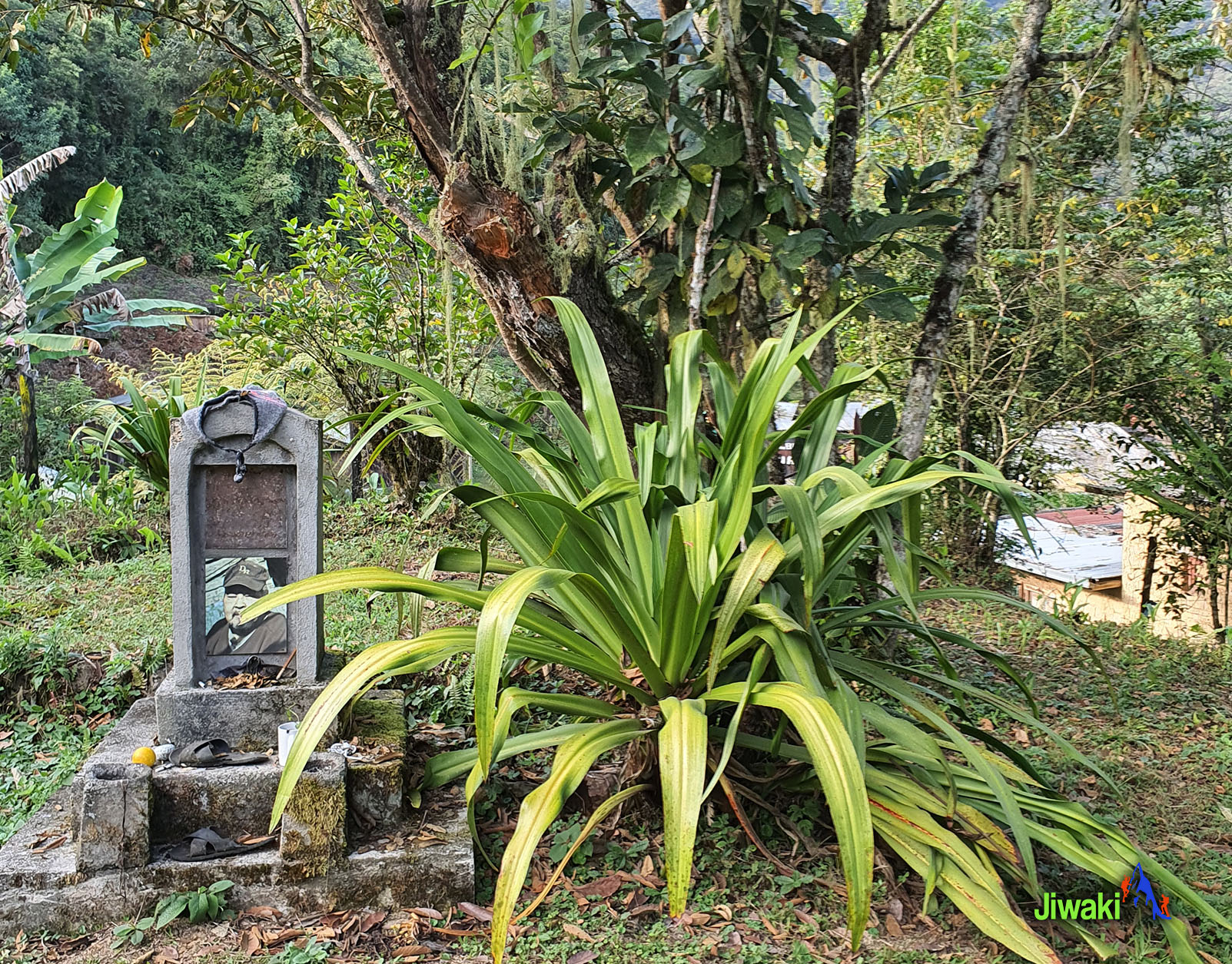
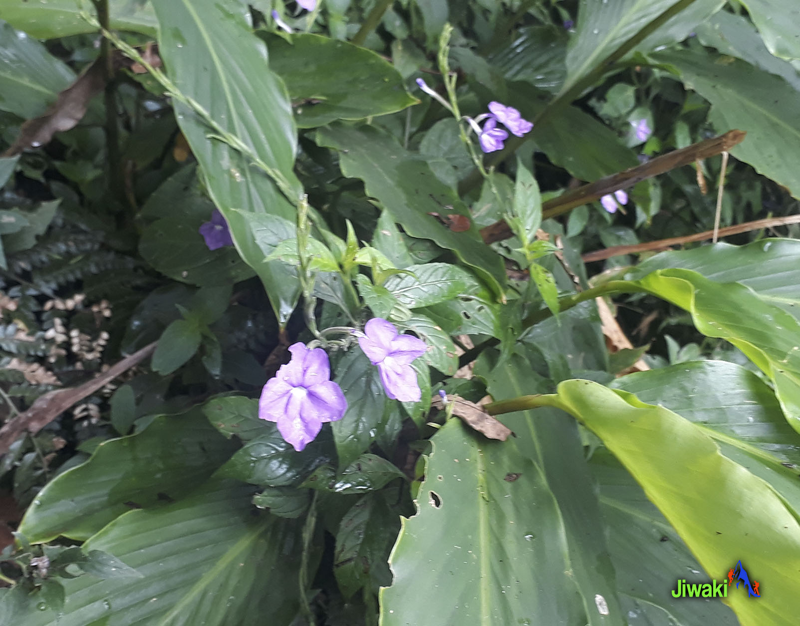
We will have our delicious breakfast at 08:00 a.m. after our hike continues through the Jucumarini River valley where the forests are more developed. There will be more greenery with beautiful larger canopies adorned by Bromeliads, mosses, and orchids. Bird life is more abundant. After another 3-4 hours of walking, we will finally arrive to Chairo village (1300 m. / 4,265 ft.) at 12:00 pm. where we will have our last lunch.
The hiking time will be around 3 – 4 hours (9 km walk).
Then transfer by transport from Chairo village (1300 m. / 4,265 ft.) to La Paz City (3600m. / 11,811m.) 4 hours drive approximately.
Arrival time to the hotel in La Paz City at 4:30 pm approximately.
